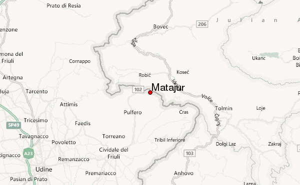
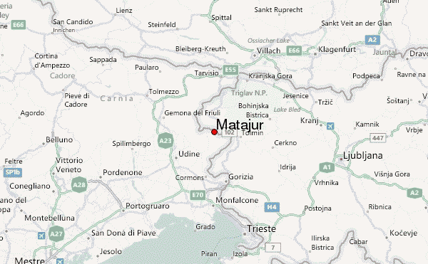
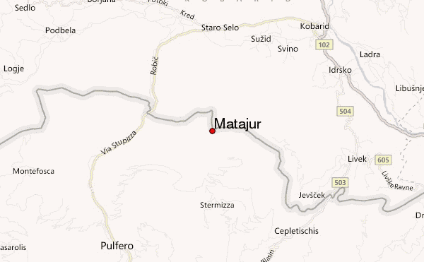
– Lat/Long: 46.21° N 13.53° E
 Matajur – Climbing, Hiking & Mountaineering information

Matajur Guide
- Elevation: 1650
- Difficulty: -
- Best months to climb: -
- Convenient center: -
Matajur climbers NotesBe the first to submit your climbers note! Please submit any useful information about climbing Matajur that may be useful to other climbers. Consider things such as access and accommodation at the base of Matajur, as well as the logistics of climbing to the summit. |
| Select a
mountain summit from the menu |
||
|
Select a Mountain Summit
|
||
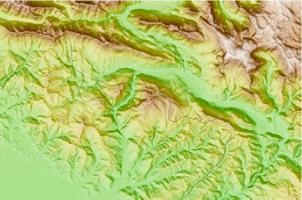
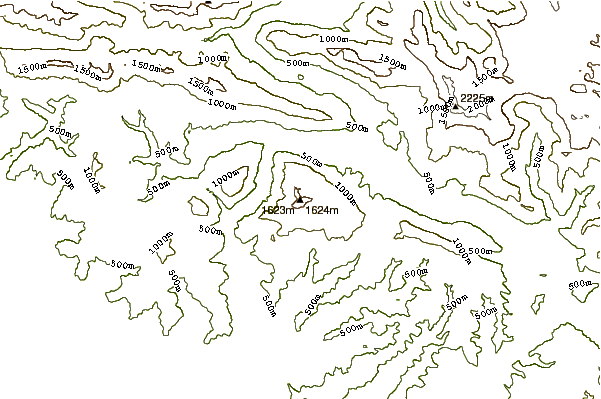
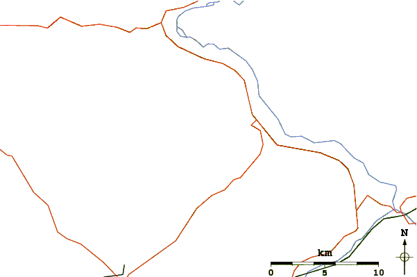
Use this relief map to navigate to mountain peaks in the area of Matajur.
10 other mountain peaks closest to Matajur:
| 1. | Rifugio Guglielmo & Giovanni Pelizzo (1320 m) | 1.2 km |
| 2. | Bivak Hlek Na Starijskem Vrhu (1225 m) | 6.2 km |
| 3. | Robidišče Trail Center (681 m) | 8.0 km |
| 4. | Bivak Na Črniku Nad Drežnico (1160 m) | 10.6 km |
| 5. | Koča Na Planini Kuhinja (991 m) | 10.6 km |
| 6. | Gomiščkovo Zavetišče Na Krnu (2182 m) | 11.5 km |
| 7. | Krn (2244 m) | 11.7 km |
| 8. | Planinski Dom Pod Ježo (740 m) | 12.1 km |
| 9. | Bivacco Costantini Franco (1690 m) | 15.0 km |
| 10. | Planinski Dom Pri Krnskih Jezerih (1385 m) | 15.4 km |