– Lat/Long: 35.72° N 76.30° E
 Masherbrum – Climbing, Hiking & Mountaineering information

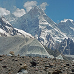
Masherbrum Guide
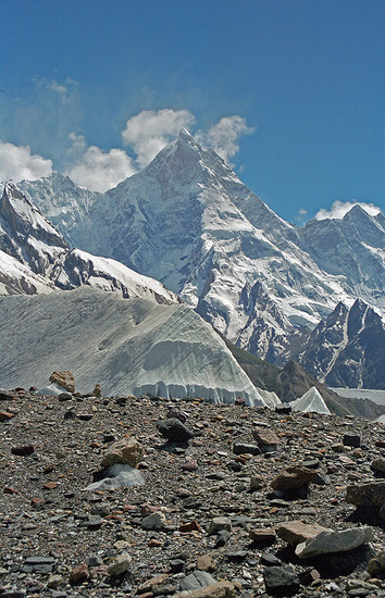
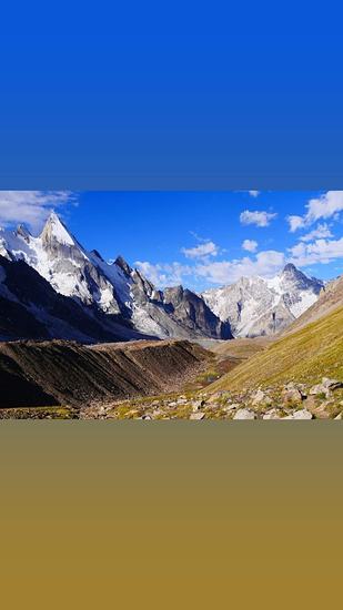
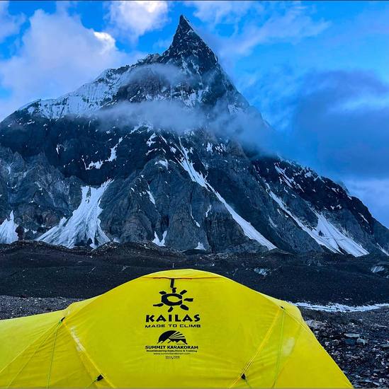
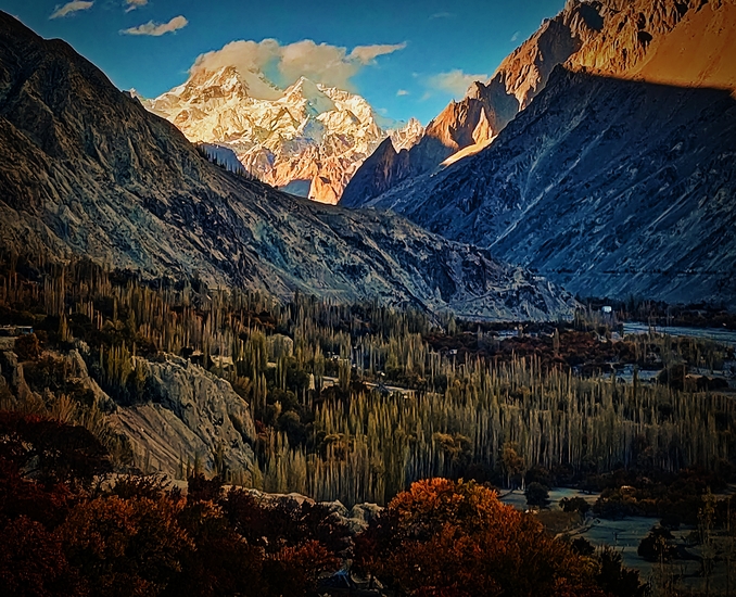
- Elevation: 7821
- Difficulty: Major Mountain Expedition
- Best months to climb: July, August, September
- Convenient center: Skardu, Pakistan
Masherbrum climbers NotesBe the first to submit your climbers note! Please submit any useful information about climbing Masherbrum that may be useful to other climbers. Consider things such as access and accommodation at the base of Masherbrum, as well as the logistics of climbing to the summit. |
| Select a
mountain summit from the menu |
||
|
Select a Mountain Summit
|
||
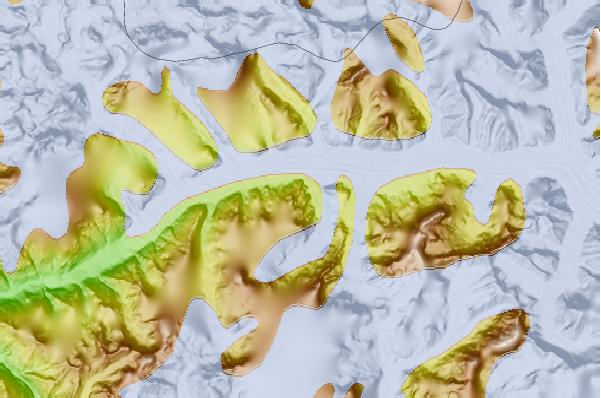
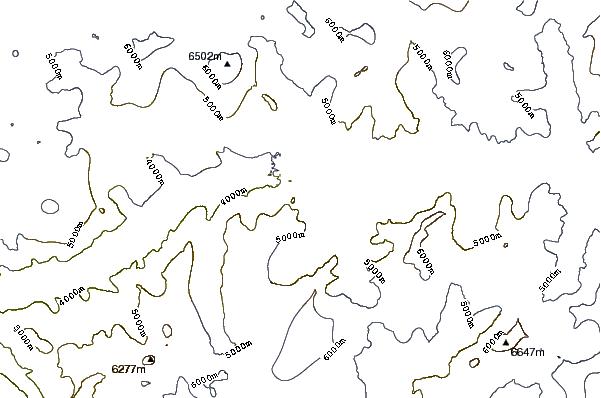
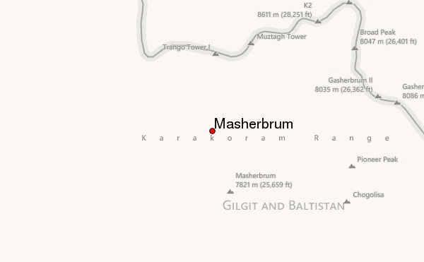
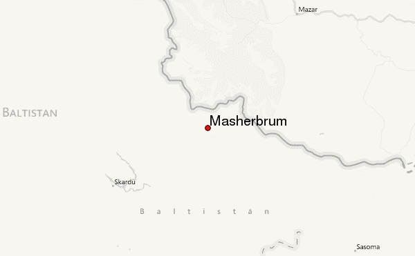
Use this relief map to navigate to mountain peaks in the area of Masherbrum.
10 other mountain peaks closest to Masherbrum:
| 1. | Biarchedi (6781 m) | 10.1 km |
| 2. | Great Trango Tower (6286 m) | 11.9 km |
| 3. | Trango Towers (6286 m) | 12.0 km |
| 4. | Muztagh Tower (7273 m) | 13.6 km |
| 5. | Mitre Peak (6025 m) | 16.4 km |
| 6. | Mitre Peak, Pakistan (6010 m) | 16.4 km |
| 7. | Laila Peak (Hushe Valley) (6096 m) | 16.9 km |
| 8. | Skil Brum (7360 m) | 18.8 km |
| 9. | Angel Sar (6858 m) | 22.7 km |
| 10. | Chongtar Kangri or Chongtar Peak (7302 m) | 24.6 km |