Leavitt Peak Guide
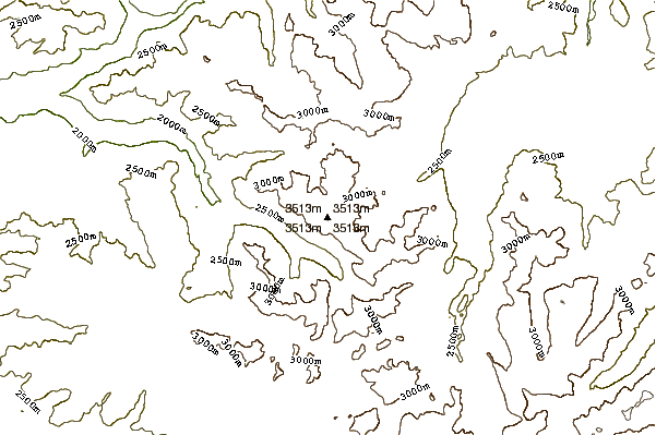
- Elevation: 3527
- Difficulty: -
- Best months to climb: -
- Convenient center: -
Leavitt Peak climbers Notes
Christophe Dinello from UNITED STATES writes:
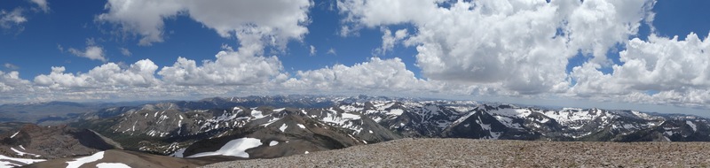
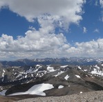
Climbed Leavitt Peak from Sonora Pass on Weds July 26th. There was basically no trail until you got to the 10,800 feet part of the trail. We cut steps with an ice ax in the bowl to get to that point. After that it was fairly uneventful. It would be helpful if someone in your party has done it before as you need to know when to turn off the main trail in order to scramble (not hard) to the top. Coming back wasn't a problem until we had to come back down the bowl area. We essentially had to slide on dirt (uncontrolled) to get to a point where we could glissade the rest of the way. Hope this helps
2017-08-01 |
Click here to submit your own climbing note for Leavitt Peak
|
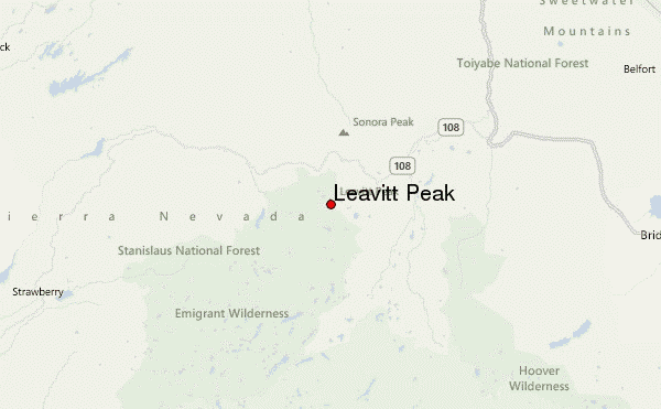
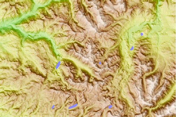
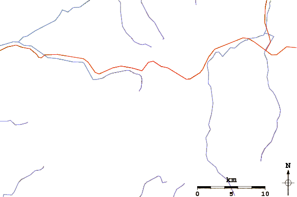
Select Leavitt Peak Location Map Detail:
Use this relief map to navigate to mountain peaks in the area of Leavitt Peak.
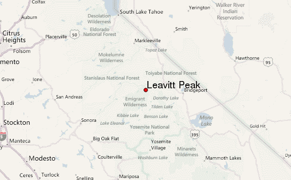
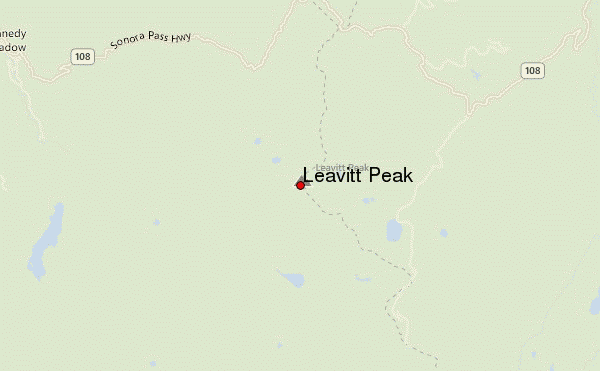
10 other mountain peaks closest to Leavitt Peak:
 Leavitt Peak – Climbing, Hiking & Mountaineering information