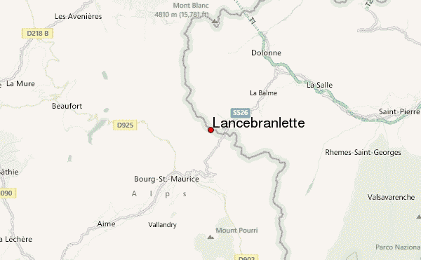
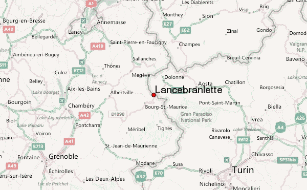
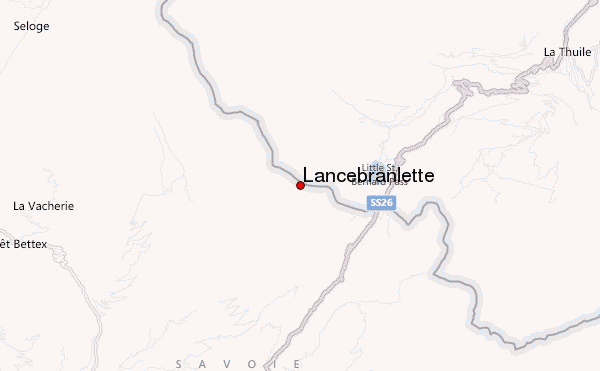
– Lat/Long: 45.68° N 6.86° E
 Lancebranlette – Climbing, Hiking & Mountaineering information

Lancebranlette Guide
- Elevation: 2936
- Difficulty: -
- Best months to climb: -
- Convenient center: -
Lancebranlette climbers NotesBe the first to submit your climbers note! Please submit any useful information about climbing Lancebranlette that may be useful to other climbers. Consider things such as access and accommodation at the base of Lancebranlette, as well as the logistics of climbing to the summit. |
| Select a
mountain summit from the menu |
||
|
Select a Mountain Summit
|
||
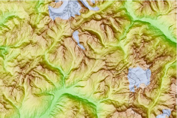
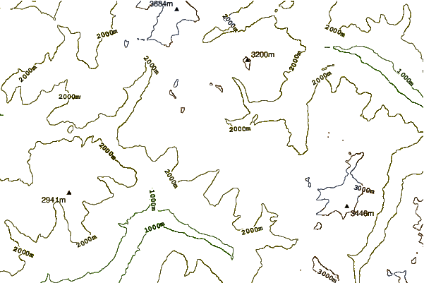
Use this relief map to navigate to mountain peaks in the area of Lancebranlette.
10 other mountain peaks closest to Lancebranlette:
| 1. | La Thuile Bike Park (2479 m) | 5.6 km |
| 2. | Refuge des Mottets (1864 m) | 8.3 km |
| 3. | Rifugio Elisabetta (2195 m) | 9.2 km |
| 4. | Rifugio Alberto Deffeyes (2494 m) | 10.2 km |
| 5. | Bivacco Hess Adolfo (2958 m) | 10.3 km |
| 6. | Pointe de la Terrasse (2881 m) | 10.4 km |
| 7. | Refuge Robert Blanc (2750 m) | 11.0 km |
| 8. | Aiguille des Glaciers (3816 m) | 11.7 km |
| 9. | Mont Tondu (3196 m) | 11.8 km |
| 10. | Crête des Gittes (2538 m) | 11.9 km |