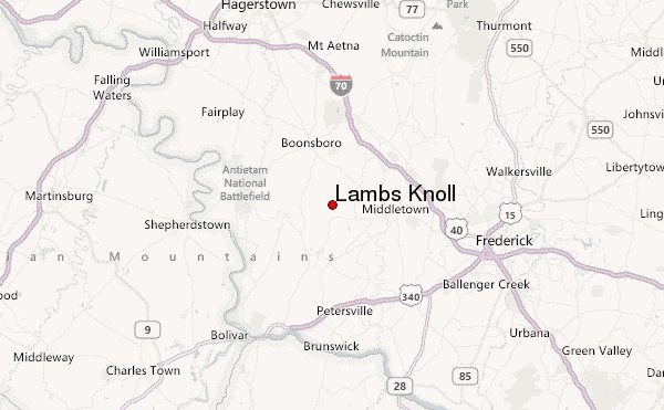
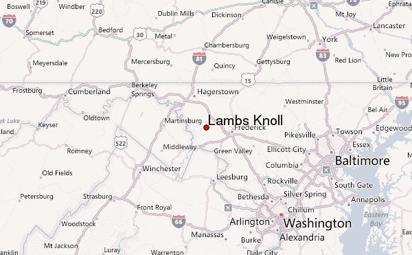
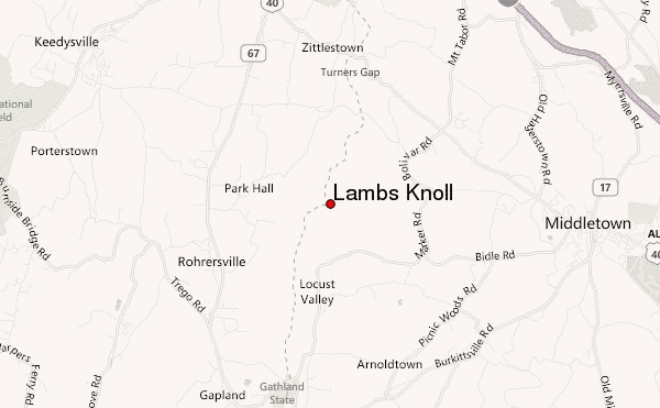
– Lat/Long: 39.45° N 77.63° W
 Lambs Knoll – Climbing, Hiking & Mountaineering information

Lambs Knoll Guide
- Elevation: 536
- Difficulty: -
- Best months to climb: -
- Convenient center: -
Lambs Knoll climbers NotesBe the first to submit your climbers note! Please submit any useful information about climbing Lambs Knoll that may be useful to other climbers. Consider things such as access and accommodation at the base of Lambs Knoll, as well as the logistics of climbing to the summit. |
| Select a
mountain summit from the menu |
||
|
Select a Mountain Summit
|
||
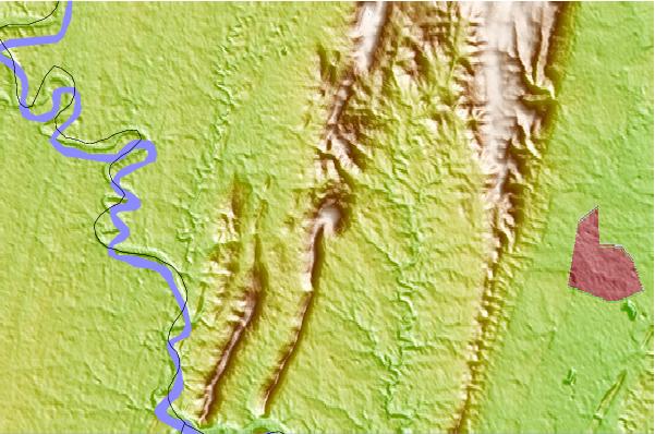
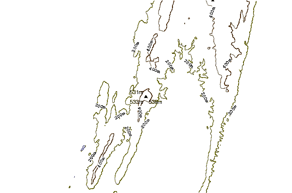
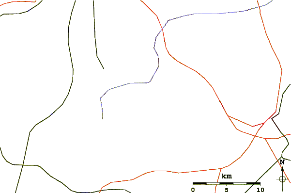
Use this relief map to navigate to mountain peaks in the area of Lambs Knoll.
10 other mountain peaks closest to Lambs Knoll:
| 1. | Loudoun Heights (Mountain) (1180 m) | 18.4 km |
| 2. | Furnace Mountain (Virginia) (891 m) | 21.5 km |
| 3. | Short Hill Mountain (440 m) | 23.4 km |
| 4. | Purcell Knob (1200 m) | 23.7 km |
| 5. | Catoctin Mountain (579 m) | 26.1 km |
| 6. | Sugarloaf Mountain (Maryland) (391 m) | 28.3 km |
| 7. | Quirauk Mountain (654 m) | 29.2 km |
| 8. | Raven Rocks (443 m) | 38.8 km |
| 9. | Hogback Mountain (Loudoun County, Virginia) (204 m) | 39.3 km |
| 10. | North Mountain (Virginia-West Virginia) (510 m) | 39.8 km |