– Lat/Long: 42.08° N 0.72° E
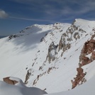
 La Tossa – Climbing, Hiking & Mountaineering information

La Tossa Guide
- Elevation: 887
- Difficulty: -
- Best months to climb: -
- Convenient center: -
La Tossa climbers NotesBe the first to submit your climbers note! Please submit any useful information about climbing La Tossa that may be useful to other climbers. Consider things such as access and accommodation at the base of La Tossa, as well as the logistics of climbing to the summit. |

| Select a
mountain summit from the menu |
||
|
Select a Mountain Summit
|
||
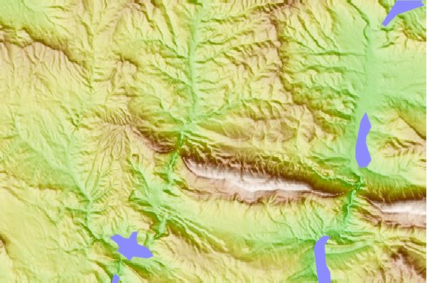
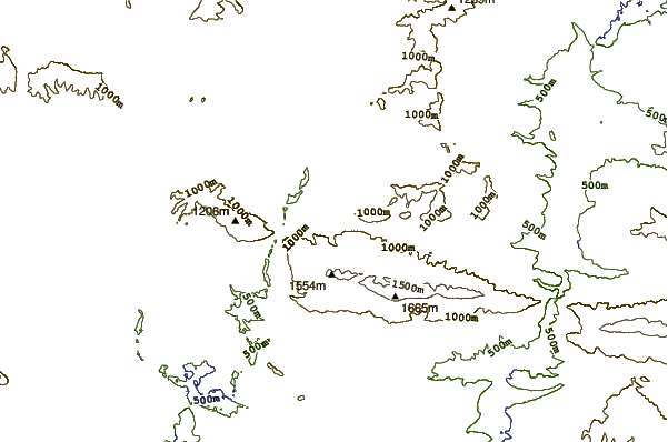
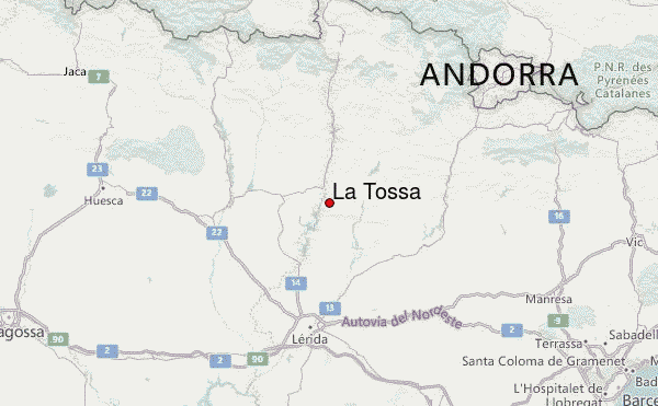
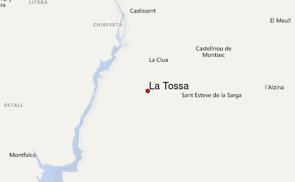
Use this relief map to navigate to mountain peaks in the area of La Tossa.
10 other mountain peaks closest to La Tossa:
| 1. | Sant Alís (1675 m) | 6.1 km |
| 2. | Refugio Mare de Déu de Colobor (1035 m) | 7.9 km |
| 3. | Mountains of Sis (1791 m) | 37.2 km |
| 4. | Refugio CAL GUERXO (787 m) | 38.5 km |
| 5. | Refugio CUBERES-MIRO (1480 m) | 40.5 km |
| 6. | El Turbón (2492 m) | 41.4 km |
| 7. | Lo Corrunco (2543 m) | 43.3 km |
| 8. | Refugio forestal de Margalida (1434 m) | 44.9 km |
| 9. | Refugio del Clot (1598 m) | 47.6 km |
| 10. | Roca de la Feixa (2093 m) | 48.0 km |
