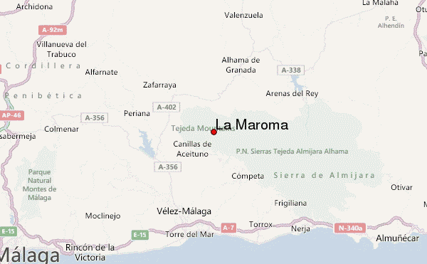
– Lat/Long: 36.90° N 4.04° W
 La Maroma – Climbing, Hiking & Mountaineering information

La Maroma Guide
- Elevation: 2066
- Difficulty: -
- Best months to climb: -
- Convenient center: -
La Maroma climbers Notes
Click here to read 1 more climbing note for La Maroma or submit your own |
| Select a
mountain summit from the menu |
||
|
Select a Mountain Summit
|
||
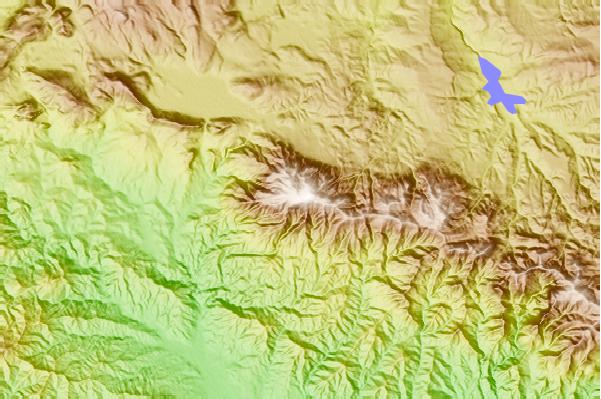
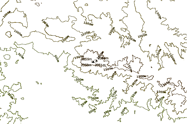
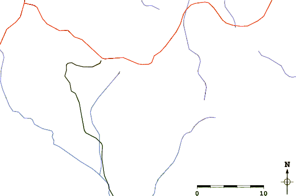
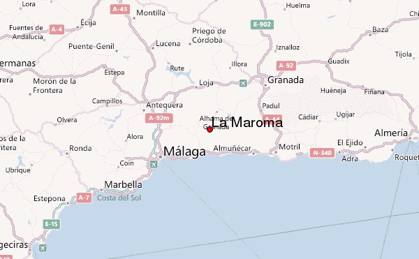
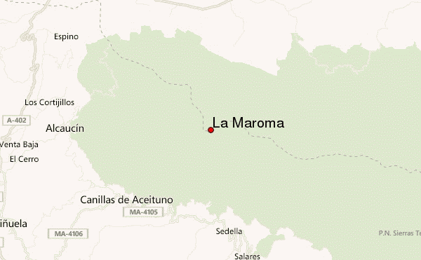
Use this relief map to navigate to mountain peaks in the area of La Maroma.
10 other mountain peaks closest to La Maroma:
| 1. | Alkornoke Bike Park (883 m) | 39.4 km |
| 2. | Peña de los Enamorados (880 m) | 43.7 km |
| 3. | Refugio Ventura (2250 m) | 52.3 km |
| 4. | Caballo (3011 m) | 55.1 km |
| 5. | Refugio del Caballo (2830 m) | 55.4 km |
| 6. | Refugio de la Loma de Cañar (2840 m) | 56.3 km |
| 7. | Refugio de Peñón Colorao (2840 m) | 57.8 km |
| 8. | Refugio Cebollar (2600 m) | 58.4 km |
| 9. | Refugio Elorrieta (3169 m) | 60.0 km |
| 10. | Refugio PUNTAL DEL (2235 m) | 60.5 km |