La Dôle Guide
- Elevation: 1677
- Difficulty: -
- Best months to climb: -
- Convenient center: -
La Dôle climbers Notes
El Piddy from SWITZERLAND writes:
Good area close to Geneva. The region is serviced by a train from Nyon via St Cergue to La Cure. Ski touring, hiking, biking, snow shoeing, winter walking pistes and great family ski areas for learners.
2014-12-11 |
Click here to submit your own climbing note for La Dôle
|
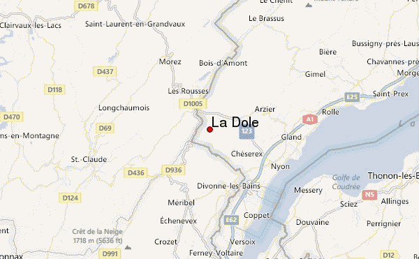
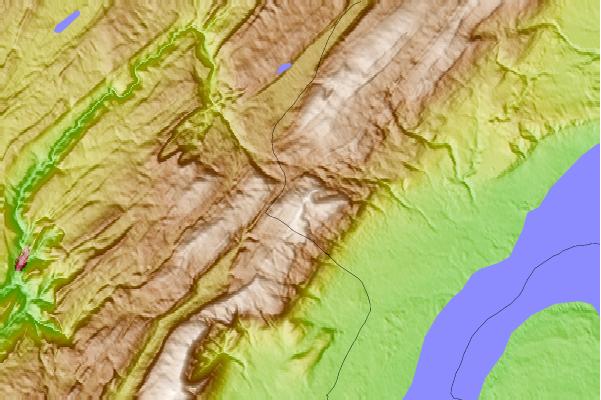
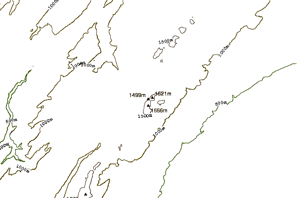
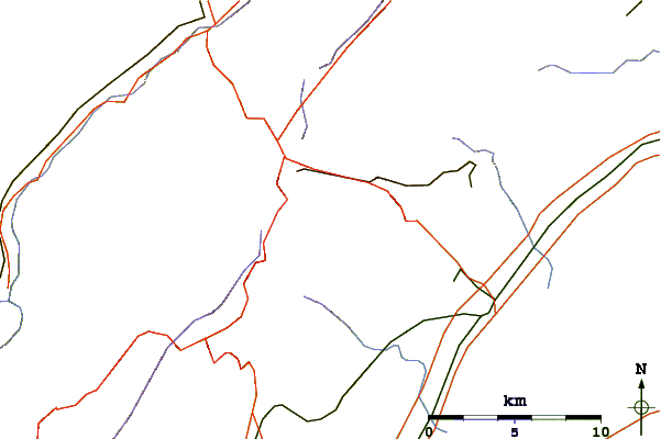
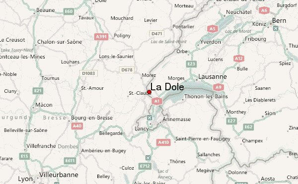
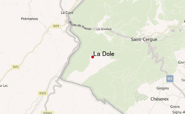
Select La Dôle Location Map Detail:
Use this relief map to navigate to mountain peaks in the area of La Dôle.
10 other mountain peaks closest to La Dôle:
 La Dôle (La Dole) – Climbing, Hiking & Mountaineering information