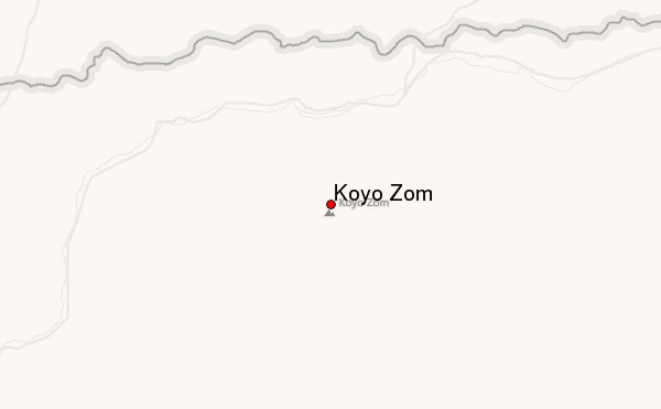
Koyo Zom Guide
- Elevation: 6871
- Difficulty: Major Mountain Expedition
- Best months to climb: July, August, September
- Convenient center: Gilgit, Pakistan
Koyo Zom climbers Notes
Ali from PAKISTAN writes:
Reaching K2 Base Camp is an unforgettable experience, but the Karakoram environment requires proper preparation and reliable local logistics. Weather conditions in this region can change very quickly, even during the trekking season, so planning with experienced local guides and support staff is extremely important. Most trekkers begin their journey from Skardu and follow the Baltoro Glacier route, which offers spectacular views of some of the world’s highest peaks.
If you are planning a trek and want detailed information about the mountain, routes, history, and preparation tips, this guide can be helpful:
skardutrekkers.com/ultimate-k2-guide-everything-about-k2
Proper acclimatization, good equipment, and knowledgeable local support make the journey safer and far more enjoyable.
2026-03-16 |
Click here to read 1 more climbing note for Koyo Zom or submit your own
|
Select Koyo Zom Location Map Detail:
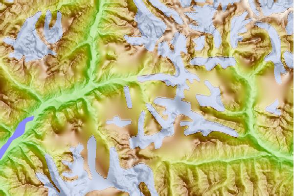
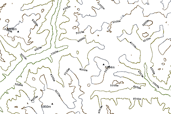
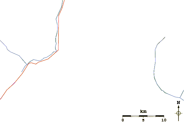
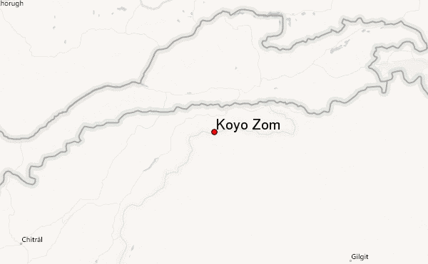
Use this relief map to navigate to mountain peaks in the area of Koyo Zom.
10 other mountain peaks closest to Koyo Zom:
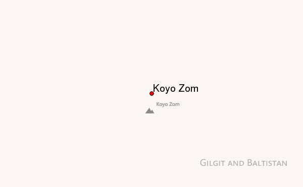
 Koyo Zom – Climbing, Hiking & Mountaineering information