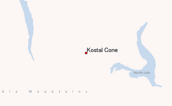
– Lat/Long: 52.17° N 119.95° W
 Kostal Cone – Climbing, Hiking & Mountaineering information

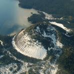
Kostal Cone Guide
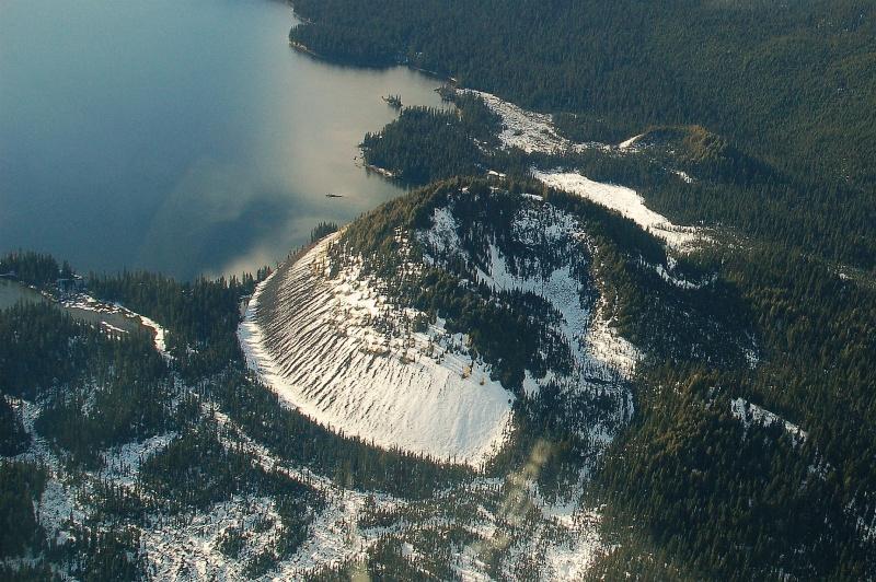
- Elevation: 1440
- Difficulty: -
- Best months to climb: -
- Convenient center: -
Kostal Cone climbers NotesBe the first to submit your climbers note! Please submit any useful information about climbing Kostal Cone that may be useful to other climbers. Consider things such as access and accommodation at the base of Kostal Cone, as well as the logistics of climbing to the summit. |
| Select a
mountain summit from the menu |
||
|
Select a Mountain Summit
|
||
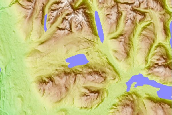

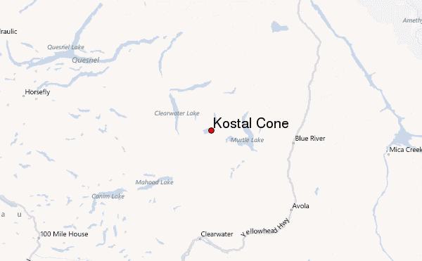
Use this relief map to navigate to mountain peaks in the area of Kostal Cone.
10 other mountain peaks closest to Kostal Cone:
| 1. | Jack's Jump (1895 m) | 8.6 km |
| 2. | Pointed Stick Cone (1820 m) | 12.0 km |
| 3. | Gage Hill (1090 m) | 13.7 km |
| 4. | McLeod Hill (1284 m) | 18.9 km |
| 5. | Pyramid Mountain (volcano) (1103 m) | 20.1 km |
| 6. | Mosquito Mound (1065 m) | 22.7 km |
| 7. | Battle Mountain (British Columbia) (2369 m) | 24.7 km |
| 8. | Spanish Mump (1800 m) | 26.0 km |
| 9. | Fiftytwo Ridge (1886 m) | 26.7 km |
| 10. | Spanish Lake Centre (1770 m) | 26.9 km |