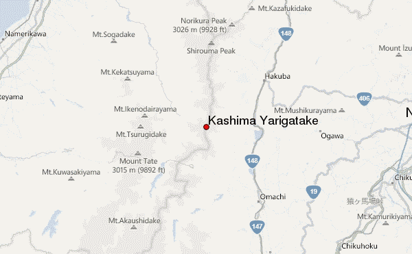
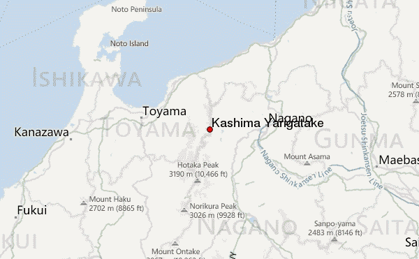
– Lat/Long: 36.62° N 137.75° E
 Kashima Yarigatake – Climbing, Hiking & Mountaineering information
Kashima Yarigatake Guide
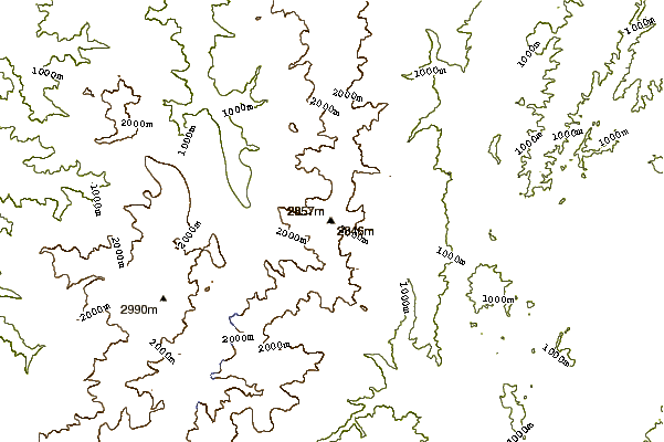
- Elevation: 2889
- Difficulty: Walk up
- Best months to climb: August, September, October
- Convenient center: Omachi, Nagano or Matsumoto, Nagano
Kashima Yarigatake climbers Notes
Click here to submit your own climbing note for Kashima Yarigatake |
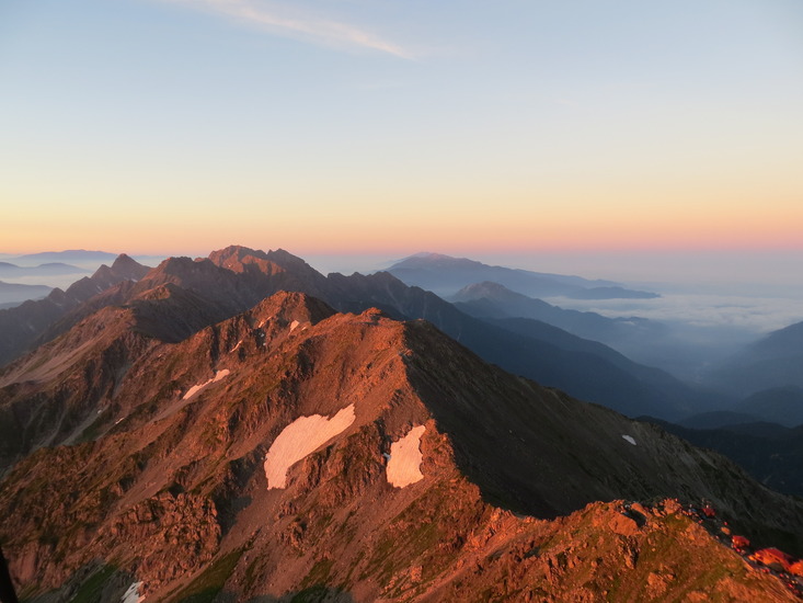
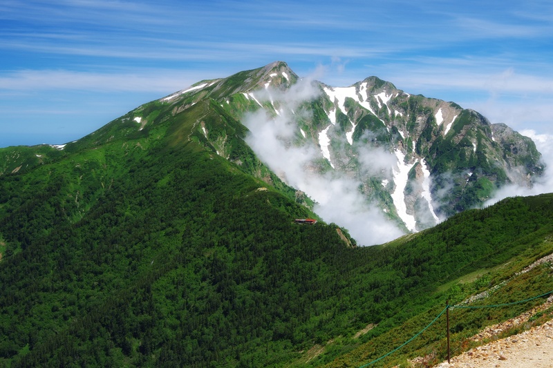
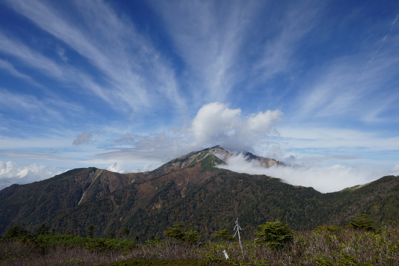
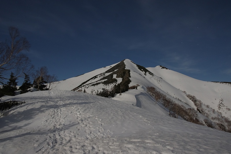
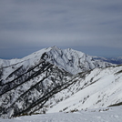
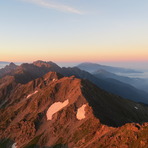
Latest Gallery Images for Kashima Yarigatake
| Select a
mountain summit from the menu |
||
|
Select a Mountain Summit
|
||
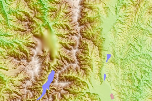
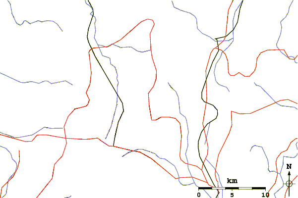
Use this relief map to navigate to mountain peaks in the area of Kashima Yarigatake.
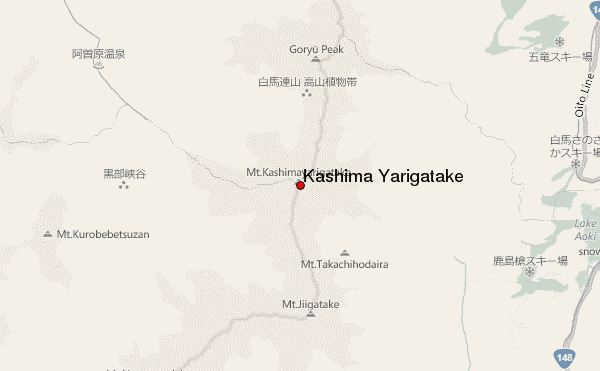
10 other mountain peaks closest to Kashima Yarigatake:
| 1. | 冷池山荘 (2430 m) | 1.2 km |
| 2. | 種池山荘 (2376 m) | 2.3 km |
| 3. | Goryu Dake (2814 m) | 3.9 km |
| 4. | Jiigatake (2670 m) | 4.1 km |
| 5. | 新越山荘 (2461 m) | 4.1 km |
| 6. | 北又小屋 (2490 m) | 4.6 km |
| 7. | 風吹山荘 (2629 m) | 6.9 km |
| 8. | 大沢小屋 (2458 m) | 7.0 km |
| 9. | 白雲荘 (866 m) | 7.3 km |
| 10. | Happo One and Karamatsu Dake (2696 m) | 7.8 km |