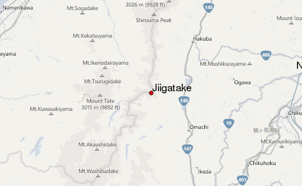
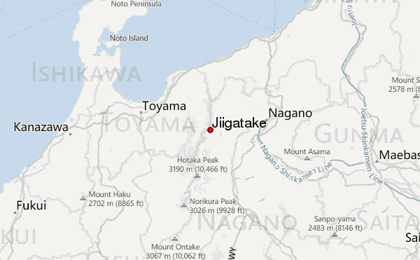
– Lat/Long: 36.59° N 137.75° E
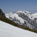
 Jiigatake – Climbing, Hiking & Mountaineering information

Jiigatake Guide
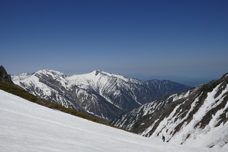
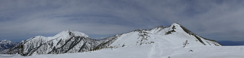
- Elevation: 2670
- Difficulty: Walk up
- Best months to climb: July, August, September, October
- Convenient center: Omachi, Nagano or Matsumoto, Nagano
Jiigatake climbers NotesBe the first to submit your climbers note! Please submit any useful information about climbing Jiigatake that may be useful to other climbers. Consider things such as access and accommodation at the base of Jiigatake, as well as the logistics of climbing to the summit. |
| Select a
mountain summit from the menu |
||
|
Select a Mountain Summit
|
||
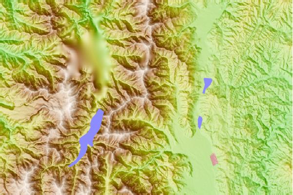
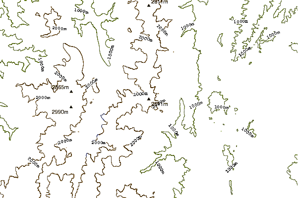
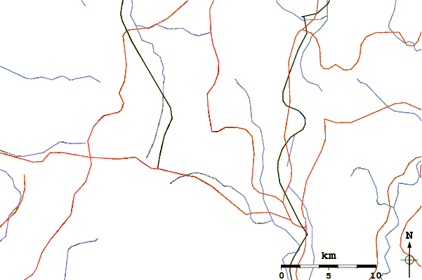
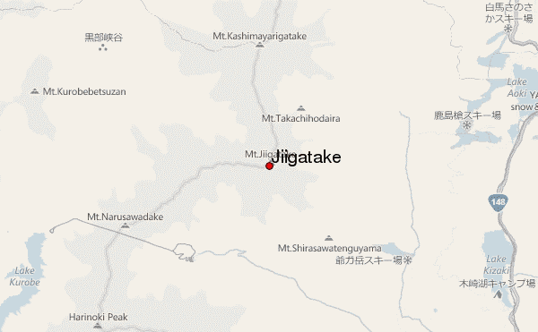
Use this relief map to navigate to mountain peaks in the area of Jiigatake.
10 other mountain peaks closest to Jiigatake:
| 1. | 新越山荘 (2461 m) | 1.3 km |
| 2. | 種池山荘 (2376 m) | 1.7 km |
| 3. | Kashima Yarigatake (2889 m) | 4.1 km |
| 4. | 大沢小屋 (2458 m) | 4.6 km |
| 5. | 冷池山荘 (2430 m) | 5.1 km |
| 6. | 蓮華温泉ロッジ (1683 m) | 5.4 km |
| 7. | 八峰キレット小屋 (2535 m) | 7.5 km |
| 8. | Goryu Dake (2814 m) | 8.0 km |
| 9. | 北又小屋 (2490 m) | 8.5 km |
| 10. | 雷鳥荘 (1481 m) | 9.1 km |