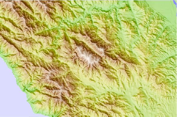
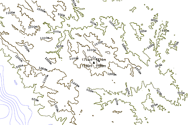
A 12 mile, out-and-back wilderness trail. The first few miles start from the Santa Lucia Memorial Campground, and feature meadows to lowland oak forest. There is a mile or two of switchbacks, followed by a crest/summit with large pines that ends at a decommissioned fire watch tower.
The trail is covered in chaparral and snagging shrubs. The peak regularly sees snow during winter months. There's not anything technical about the trail, but with over a mile of elevation change, it usually take between 5-7 hours to complete a hike, and leaves my party sore every time. Cell service is limited, so going with a partner is recommended for safety.
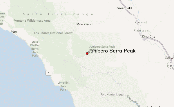
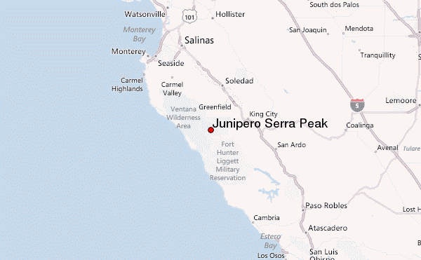
Why to go: It's the tallest peak in Monterey County, and the summit is an almost alpine oasis, and the view of Cone Peak, both sides of the range, and glimpses of Nacimiento Lake are a lookout's dream. It's a challenge to be sure, but well worth it.
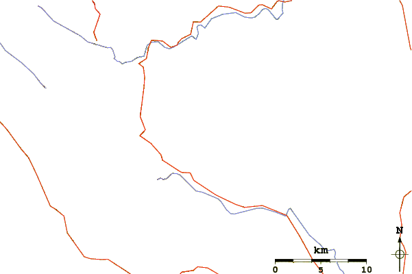
Access may be limited during winter, as there are two river crossings that become flooded.
Have fun, take lots of water and a lunch, and enjoy!
 Junipero Serra Peak – Climbing, Hiking & Mountaineering information