– Lat/Long: 36.38° N 120.86° W
 Black Mountain (San Benito County) – Climbing, Hiking & Mountaineering information

Black Mountain (San Benito County) Guide
- Elevation: 1145
- Difficulty: -
- Best months to climb: -
- Convenient center: -
Black Mountain (San Benito County) climbers NotesBe the first to submit your climbers note! Please submit any useful information about climbing Black Mountain (San Benito County) that may be useful to other climbers. Consider things such as access and accommodation at the base of Black Mountain (San Benito County), as well as the logistics of climbing to the summit. |
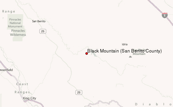
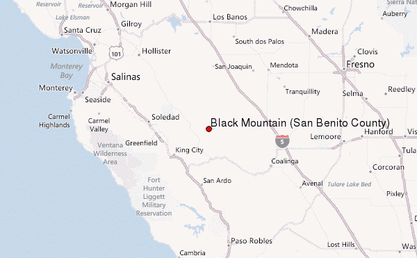
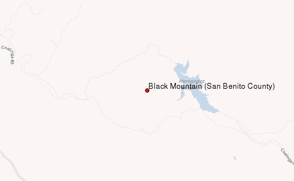
Select Black Mountain (San Benito County) Location Map Detail:
| Select a
mountain summit from the menu |
||
|
Select a Mountain Summit
|
||
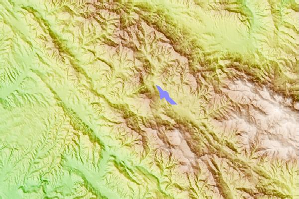
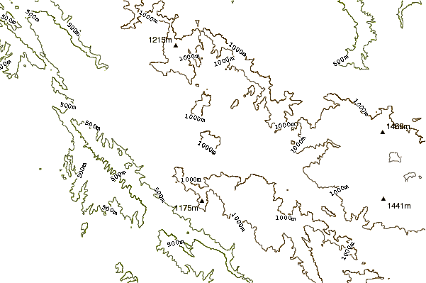
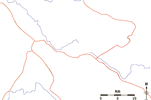
Use this relief map to navigate to mountain peaks in the area of Black Mountain (San Benito County).
10 other mountain peaks closest to Black Mountain (San Benito County):
| 1. | San Benito Mountain (1605 m) | 19.0 km |
| 2. | Santa Rita Peak (1560 m) | 23.1 km |
| 3. | Junipero Serra Peak (1785 m) | 57.0 km |
| 4. | Laveaga Peak (1159 m) | 63.3 km |
| 5. | Black Mountain (Fresno County, California) (1324 m) | 68.9 km |
| 6. | Tierra Redonda Mountain (631 m) | 69.1 km |
| 7. | Fremont Peak (California) (967 m) | 71.3 km |
| 8. | Table Mountain (Kings County, California) (1059 m) | 74.4 km |
| 9. | Ventana Double Cone (1479 m) | 77.6 km |
| 10. | Rooster Comb (560 m) | 105.6 km |