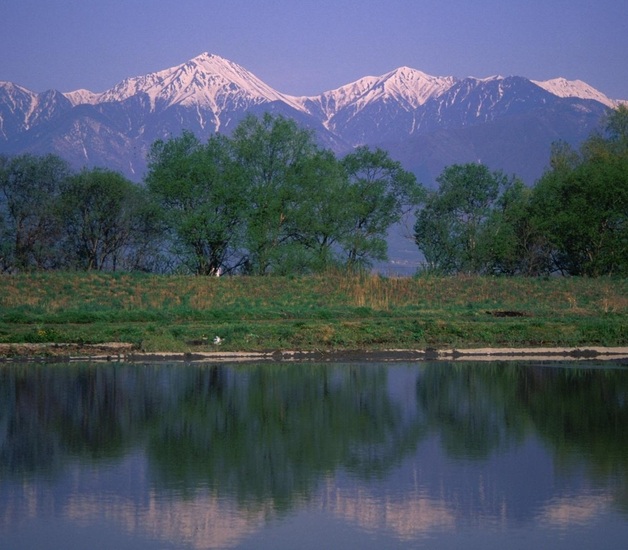
Jonen Dake Guide
- Elevation: 2857
- Difficulty: Scramble
- Best months to climb: July, August, September
- Convenient center: Matsumoto, Azumino
Jonen Dake climbers Notes
falconeye from JAPAN writes:
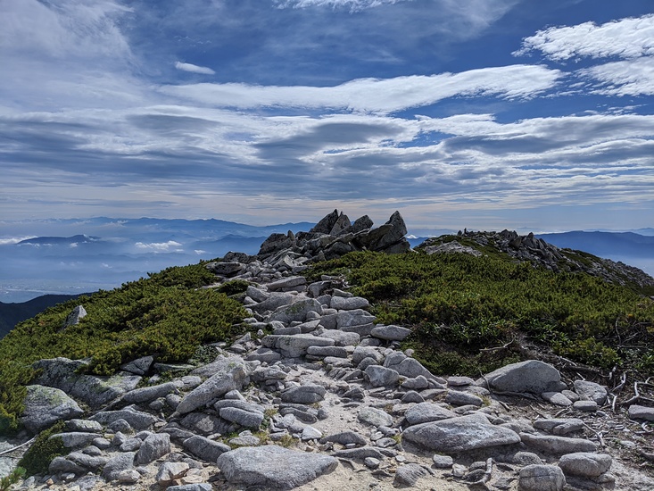
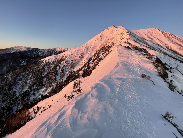
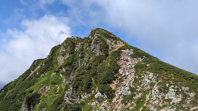
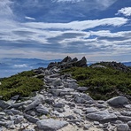
I thought that the physical risk was low because it was a modest distance and height difference as well as being a good time to go to the mountains. Actually, there was no particular problem with the rapid climbing and descending of the forest belt, but by the time I reached the only rocky area near the summit peculiar to the Alps, I was mentally tired. In addition to worrying about slipping, I was also nervous about not letting rocks fall and not receiving rocks. As for getting lost, the forest belt is well maintained, so I thought that both Mt. Jonen and Mt. Butterfly would not get lost. It is a rocky place near the summit, but there is a marker on the rock and the weather was fine on that day, and there were several other climbers, so I did not make a big mistake in the route. If you do, I think you may not know the route quite a bit. I realized that the rocky areas of the Alps really didn't let me down. As for the water, 2L was enough because the water was cool on the ridgeline (it was cold with short sleeves).
2020-09-20 |
Click here to submit your own climbing note for Jonen Dake
|
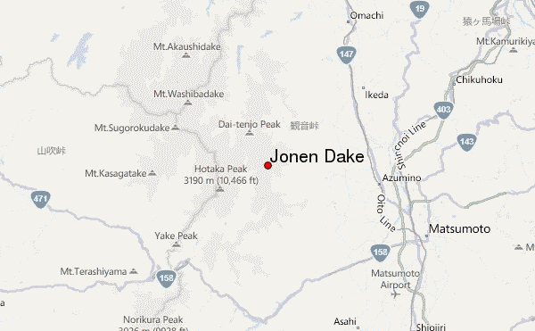
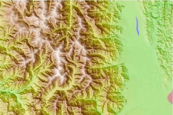
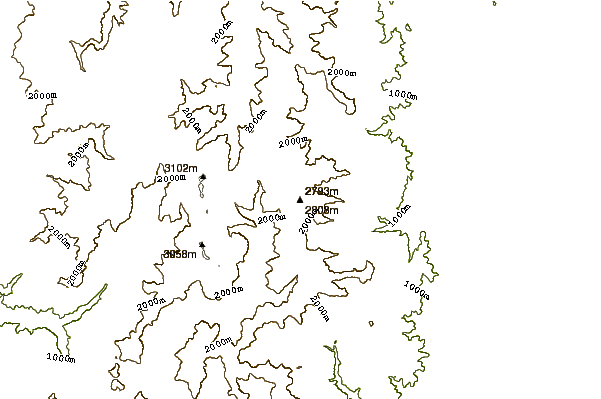
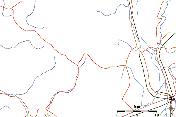
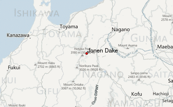
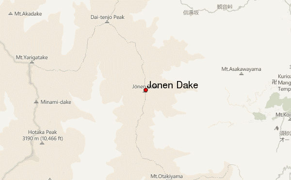
Select Jonen Dake Location Map Detail:
Use this relief map to navigate to mountain peaks in the area of Jonen Dake.
10 other mountain peaks closest to Jonen Dake:
 Jonen Dake – Climbing, Hiking & Mountaineering information