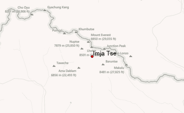
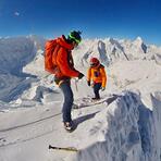
I climbed Imja Tse on 24 April 2016. I am a total novice and went for Island Peak (Imja Tse) as part of an organised trekking holiday. I had never worn crampons or touched an ice axe prior to the training day on 22 April 2016.
Prior to the trip I watched various YouTube videos of ascent from 2009-2013. These all showed a walk - albeit a steep and dramatic walk that required crampons and ropes in places.
I have no idea what conditions are like now but I was not prepared for three things:
1 It was mind-numbingly cold. I don't know how cold it was, but cold enough to freeze my water solid inside insulation inside my backpack and stop my camera batteries from working. Fine once the sun came up at 0500 but absolutely "Baltic" at 0230.
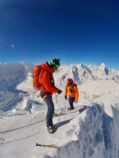
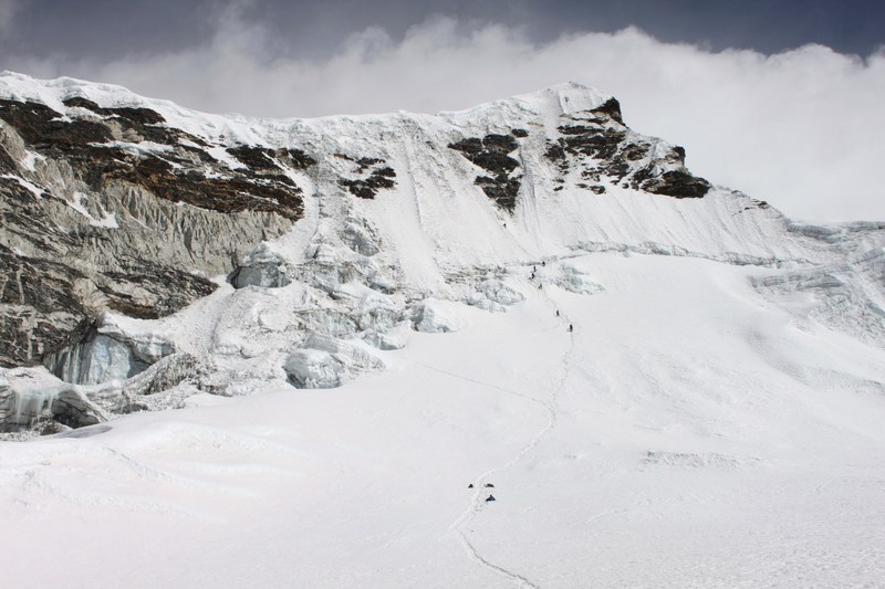
2 Ice chasms - the crevices had opened up on the glacier approach and we had to cross three aluminium ladder bridges, one a double. In crampons. These were terrifying and almost enough to lead me to rediscover Christianity (at least temporarily)after 30 years of devout skepticism when I found myself poised on one leg in the middle of the widest bridge with nothing but a long, long drop below. For the avoidance of doubt I was on a rope and would not have died....
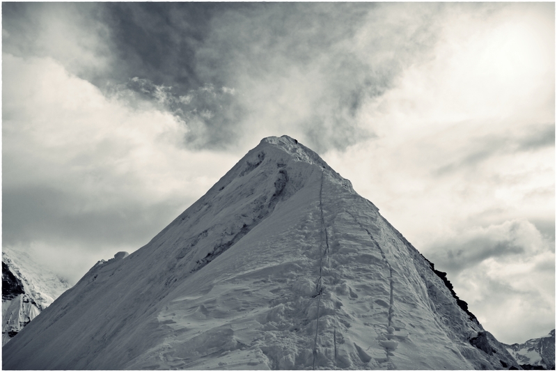
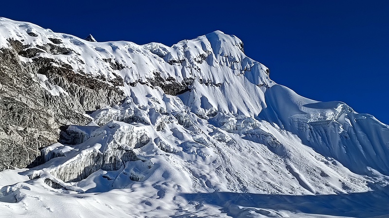
3 No snow. We had to climb (it felt about 1,000m but was probably no more than 150m) up hard, broken twisted blue ice, than traverse across the snow face at the top of the ridge. I don't know if there has been a "wetter" monsoon in 2016/17, I do not know how conditions are there now. But there was almost no snow in Spring 2016, exposing this hideous blue ice underneath. Thank God for X-fit training before Nepal, it was hard work.
BUT....
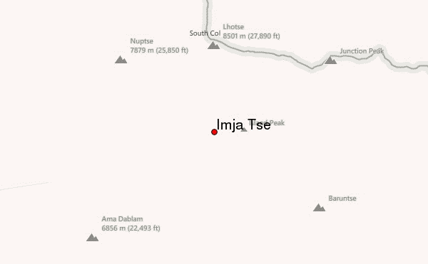
The view from the top was spectacular, life changing and life affirming. The South face of Lhotse towering above us, the roof of the World laid out with four of the ten highest mountains in the world visible and close. I would not hesitate to go back tomorrow for the same experience.
My climbing guide Pasang had summited Everest in 2015 and went to the top of Everest again two weeks after my trip. He gave me absolute confidence and I never doubted we would get up and down safely.
For a novice: please do go. It was the experience of a lifetime. But don't approach it as a walk in the Lake District or Chamonix in summer. This is a serious piece of rock and ice at almost 6200m altitude. It is perfectly possible (even for a 50 year old novice i.e. me), but get a proper climbing guide and go with a tour company that has qualified and experienced climbing guides, speaking a language you can communicate in and know how to get you out of trouble if the worst should happen. But do please go.
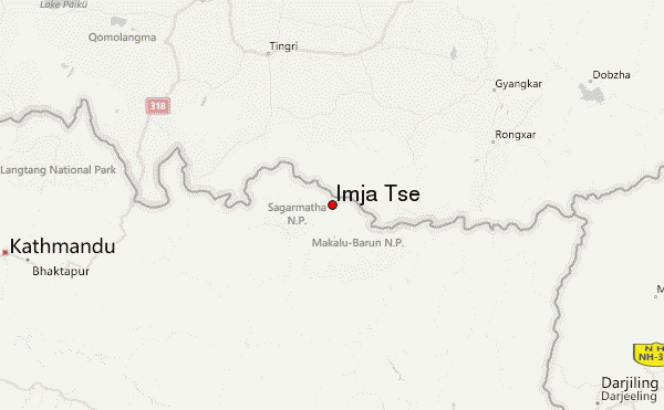
 Imja Tse – Climbing, Hiking & Mountaineering information


