– Lat/Long: 44.20° N 73.70° W
 Hurricane Mt – Climbing, Hiking & Mountaineering information

Hurricane Mt Guide

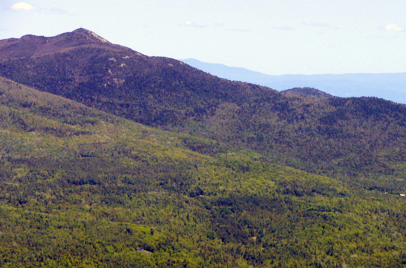

- Elevation: 1126
- Difficulty: Walk up
- Best months to climb: January, February, March, April, May, June, July, August, September, October, November, December
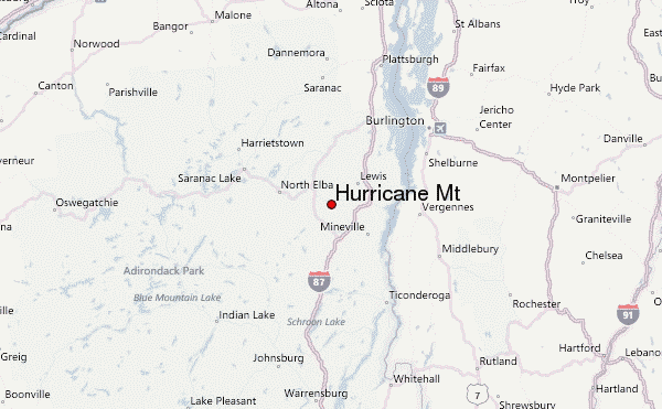
- Convenient center: Elizabethtown, NY
Hurricane Mt climbers Notes
Click here to submit your own climbing note for Hurricane Mt |
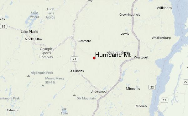
| Select a
mountain summit from the menu |
||
|
Select a Mountain Summit
|
||
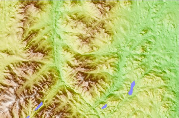
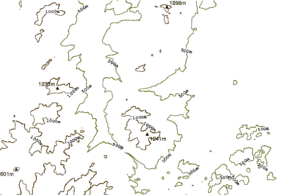
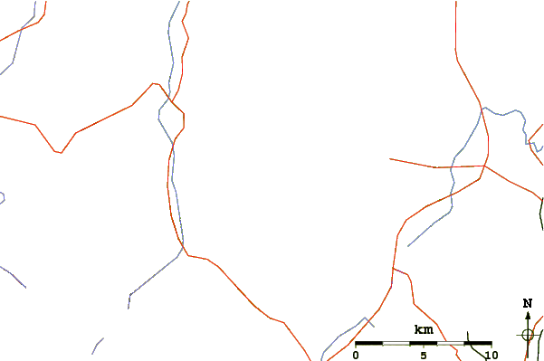
Use this relief map to navigate to mountain peaks in the area of Hurricane Mt.
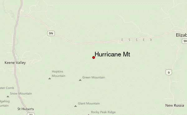
10 other mountain peaks closest to Hurricane Mt:
| 1. | Giant Mountain (1410 m) | 4.6 km |
| 2. | Rocky Peak Ridge (1338 m) | 5.1 km |
| 3. | Noonmark Mountain (1084 m) | 9.8 km |
| 4. | Porter Mountain (1237 m) | 11.6 km |
| 5. | Lower Wolfjaw Mountain (1272 m) | 12.1 km |
| 6. | Dial Mountain (1225 m) | 13.0 km |
| 7. | Cascade (1249 m) | 13.0 km |
| 8. | Upper Wolfjaw Mountain (1281 m) | 13.3 km |
| 9. | Big Slide Mountain (New York) (1292 m) | 13.8 km |
| 10. | Armstrong Mountain (Keene Valley, New York) (1355 m) | 14.0 km |
