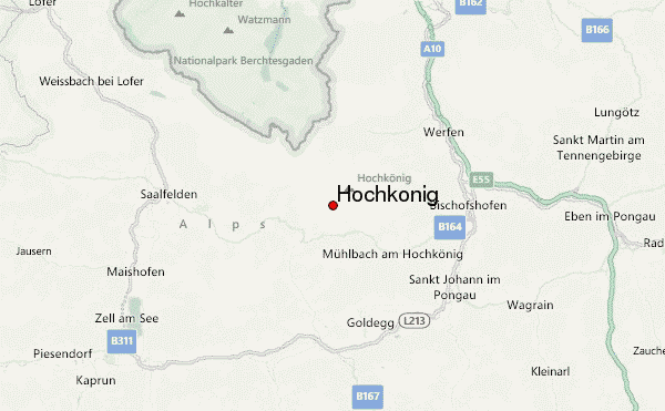
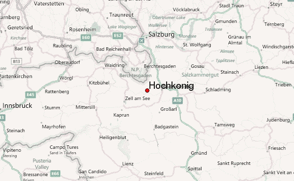
– Lat/Long: 47.42° N 13.05° E
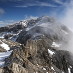
 Hochkönig (Hochkonig) – Climbing, Hiking & Mountaineering information

Hochkönig Guide
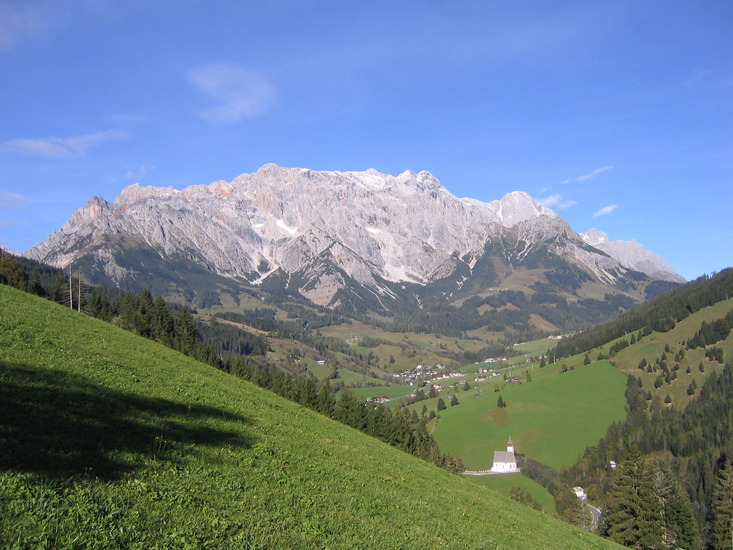
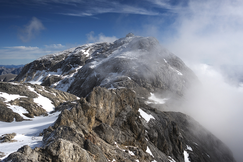
- Elevation: 2941
- Difficulty: Walk up
- Best months to climb: July, August, September
- Convenient center: Bischofshofen
Hochkönig climbers Notes
|
| Select a
mountain summit from the menu |
||
|
Select a Mountain Summit
|
||
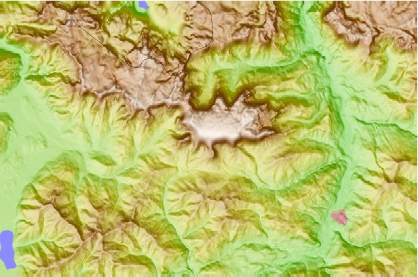
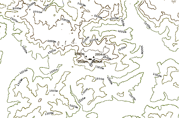
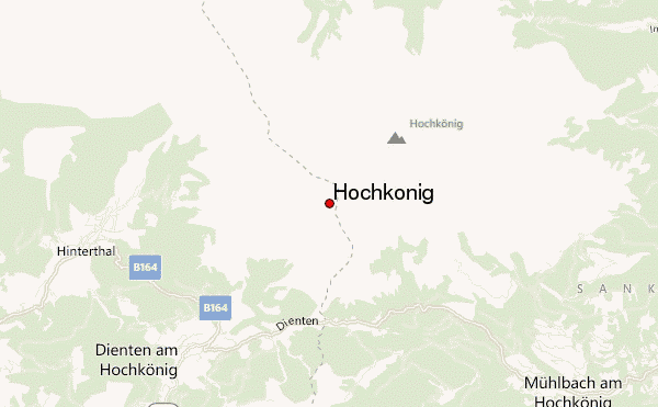
Use this relief map to navigate to mountain peaks in the area of Hochkönig.
10 other mountain peaks closest to Hochkönig:
| 1. | Franz-Eduard-Matras-Haus (2941 m) | 1.0 km |
| 2. | Riemannhaus (2177 m) | 11.2 km |
| 3. | Kärlingerhaus (Funtenseehaus) (1638 m) | 12.2 km |
| 4. | Ingolstädter-Haus (2119 m) | 15.5 km |
| 5. | Werfenerhütte (1969 m) | 16.5 km |
| 6. | Leopold Happisch Haus (1925 m) | 17.3 km |
| 7. | Carl-von-Stahl-Haus (1733 m) | 17.6 km |
| 8. | Watzmann (2713 m) | 17.9 km |
| 9. | Wimbachgrieshütte (1327 m) | 18.3 km |
| 10. | Hohe Goll or Hoher Göll (2522 m) | 18.6 km |