– Lat/Long: 54.48° N 3.11° W
 High Raise (Langdale) – Climbing, Hiking & Mountaineering information

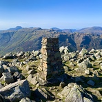
High Raise (Langdale) Guide
- Elevation: 762
- Difficulty: -
- Best months to climb: -
- Convenient center: -
High Raise (Langdale) climbers NotesBe the first to submit your climbers note! Please submit any useful information about climbing High Raise (Langdale) that may be useful to other climbers. Consider things such as access and accommodation at the base of High Raise (Langdale), as well as the logistics of climbing to the summit. |
| Select a
mountain summit from the menu |
||
|
Select a Mountain Summit
|
||
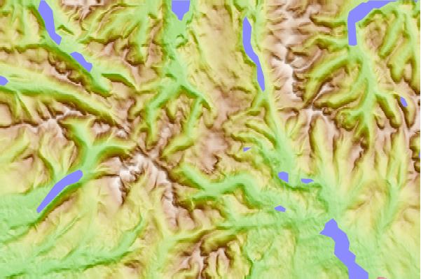
Use this relief map to navigate to mountain peaks in the area of High Raise (Langdale).
10 other mountain peaks closest to High Raise (Langdale):
| 1. | Sergeant Man (736 m) | 0.9 km |
| 2. | Thunacar Knott (723 m) | 1.7 km |
| 3. | Pavey Ark (700 m) | 1.7 km |
| 4. | Sergeant's Crag (571 m) | 2.0 km |
| 5. | Harrison Stickle (736 m) | 2.1 km |
| 6. | Pike of Stickle (709 m) | 2.3 km |
| 7. | Calf Crag (537 m) | 2.4 km |
| 8. | Tarn Crag (Easedale) (551 m) | 2.4 km |
| 9. | Loft Crag (682 m) | 2.5 km |
| 10. | Eagle Crag (521 m) | 2.6 km |