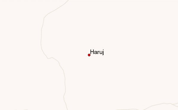
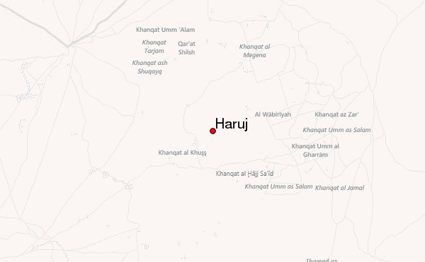
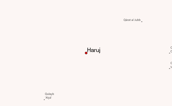
– Lat/Long: 27.25° N 17.50° E
 Haruj – Climbing, Hiking & Mountaineering information

Haruj Guide
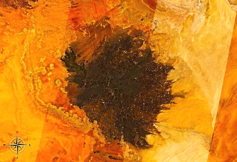
- Elevation: 1200
- Difficulty: -
- Best months to climb: -
- Convenient center: -
Haruj climbers NotesBe the first to submit your climbers note! Please submit any useful information about climbing Haruj that may be useful to other climbers. Consider things such as access and accommodation at the base of Haruj, as well as the logistics of climbing to the summit. |
| Select a
mountain summit from the menu |
||
|
Select a Mountain Summit
|
||
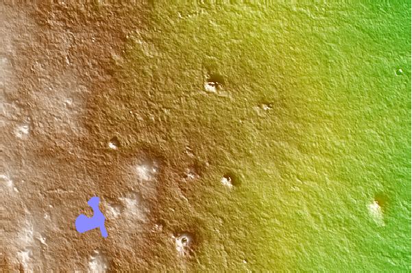
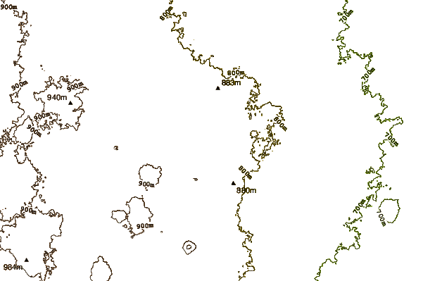
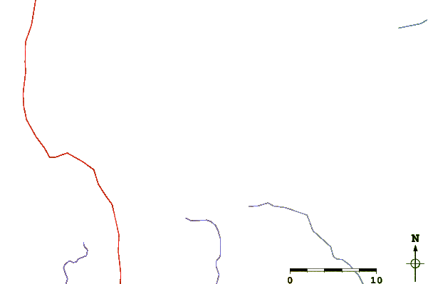
Use this relief map to navigate to mountain peaks in the area of Haruj.
10 other mountain peaks closest to Haruj:
| 1. | Waw an Namus (547 m) | 261.0 km |
| 2. | Bikku Bitti (2267 m) | 607.7 km |
| 3. | Tarso Toh (2000 m) | 669.5 km |
| 4. | Tarso Tousside (3265 m) | 700.4 km |
| 5. | Toussidé (3265 m) | 700.4 km |
| 6. | Tarso Voon (3100 m) | 704.9 km |
| 7. | Nafusa Mountains (968 m) | 754.1 km |
| 8. | Emi Koussi (3415 m) | 836.7 km |
| 9. | Jebel Uweinat (1934 m) | 964.5 km |
| 10. | Ta'Dmejrek (253 m) | 1003.4 km |