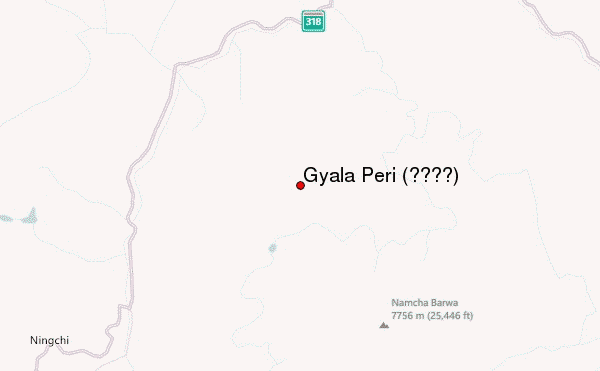
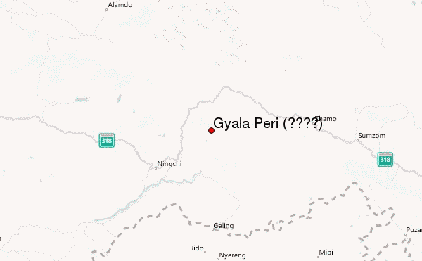
– Lat/Long: 29.81° N 94.97° E
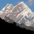
 Gyala Peri (加拉白垒) (Gyala Peri) – Climbing, Hiking & Mountaineering information

Gyala Peri (加拉白垒) Guide
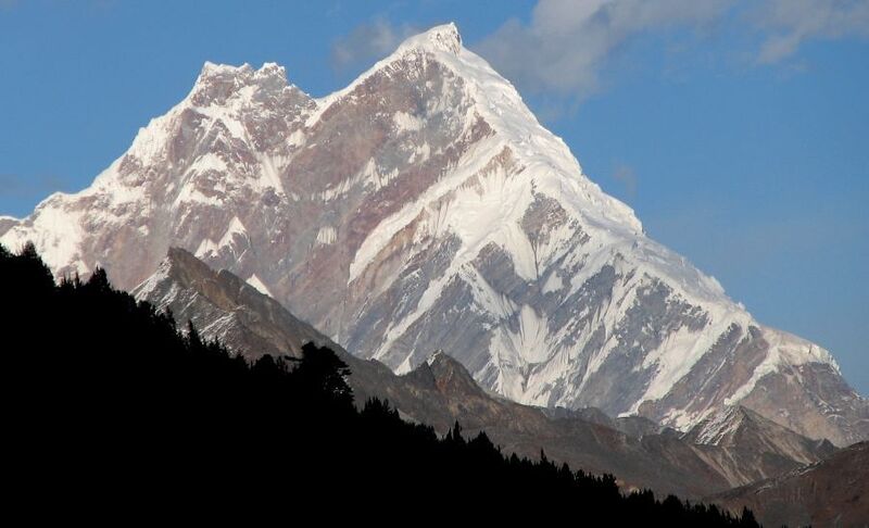
- Elevation: 7294
- Difficulty: -
- Best months to climb: -
- Convenient center: -
Gyala Peri (加拉白垒) climbers NotesBe the first to submit your climbers note! Please submit any useful information about climbing Gyala Peri (加拉白垒) that may be useful to other climbers. Consider things such as access and accommodation at the base of Gyala Peri (加拉白垒), as well as the logistics of climbing to the summit. |
| Select a
mountain summit from the menu |
||
|
Select a Mountain Summit
|
||
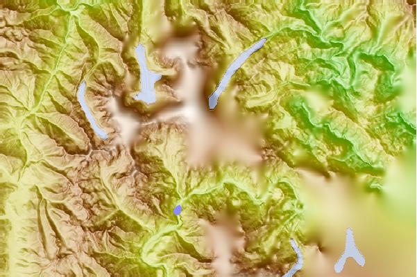
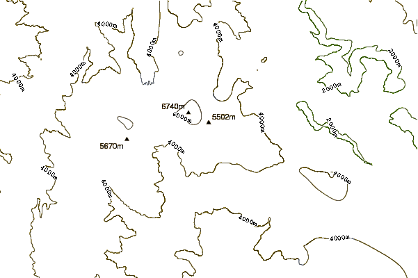
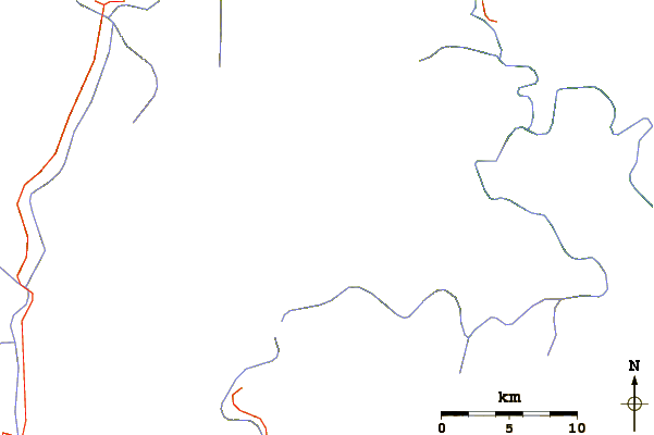
Use this relief map to navigate to mountain peaks in the area of Gyala Peri (加拉白垒).
10 other mountain peaks closest to Gyala Peri (加拉白垒):
| 1. | Namcha Barwa or Namjag Barwa (南迦巴瓦峰) (7782 m) | 21.9 km |
| 2. | Namche Barwa (7782 m) | 22.0 km |
| 3. | Tsozong Gongba Monastery (3540 m) | 103.8 km |
| 4. | Sepu Kangri (6995 m) | 166.1 km |
| 5. | Bairiga (白日嘎) (6882 m) | 184.1 km |
| 6. | Hkakabo Razi (5881 m) | 295.4 km |
| 7. | Nyegyi Kansang (7047 m) | 306.4 km |
| 8. | Kangto (7060 m) | 321.5 km |
| 9. | Gori Chen (6488 m) | 332.1 km |
| 10. | Mawhpung Bum (1874 m) | 336.3 km |