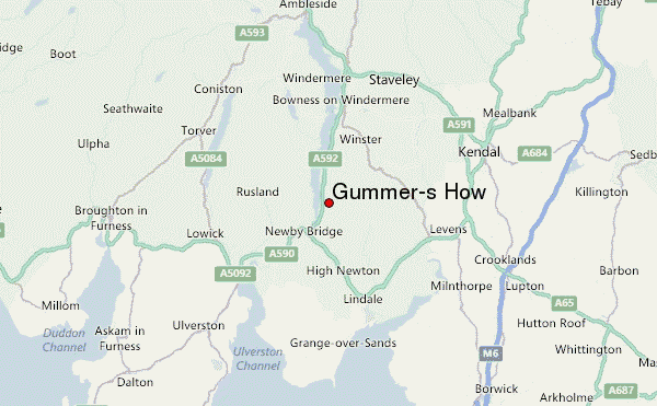
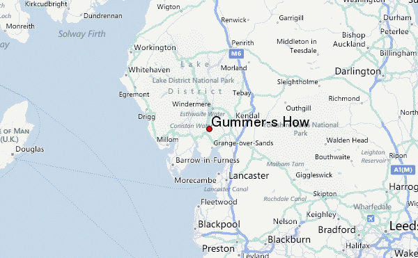
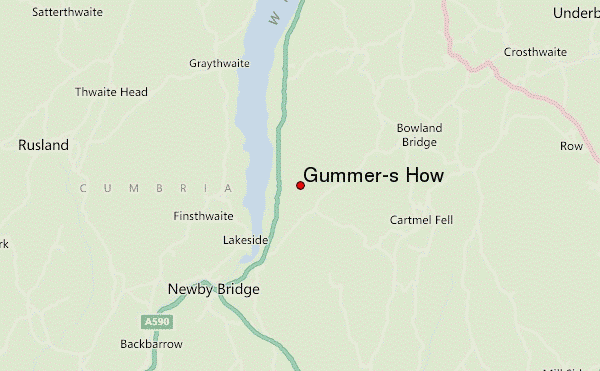
– Lat/Long: 54.29° N 2.94° W
 Gummer's How (Gummer-s How) – Climbing, Hiking & Mountaineering information

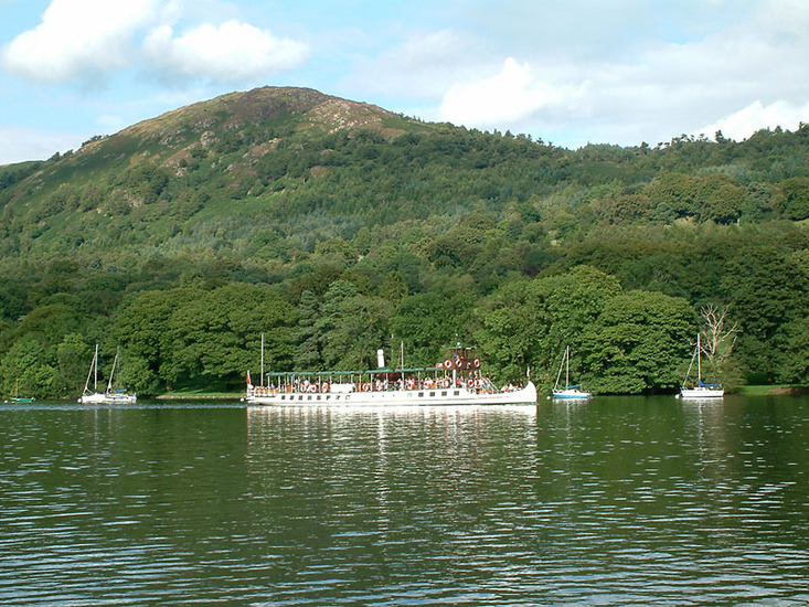
Gummer's How Guide
- Elevation: 321
- Difficulty: -
- Best months to climb: -
- Convenient center: -
Gummer's How climbers NotesBe the first to submit your climbers note! Please submit any useful information about climbing Gummer's How that may be useful to other climbers. Consider things such as access and accommodation at the base of Gummer's How, as well as the logistics of climbing to the summit. |
| Select a
mountain summit from the menu |
||
|
Select a Mountain Summit
|
||
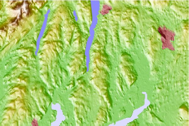
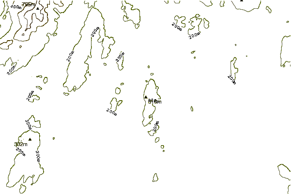
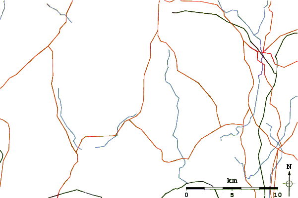
Use this relief map to navigate to mountain peaks in the area of Gummer's How.
10 other mountain peaks closest to Gummer's How:
| 1. | Whitbarrow (215 m) | 5.3 km |
| 2. | Carron Crag (314 m) | 8.7 km |
| 3. | Top o'Selside (335 m) | 8.8 km |
| 4. | Cunswick Scar (207 m) | 10.7 km |
| 5. | The Old Man Of Coniston (803 m) | 12.4 km |
| 6. | Reston Scar (255 m) | 12.6 km |
| 7. | Kirkby Moor (333 m) | 13.9 km |
| 8. | Black Fell (Lake District) (323 m) | 14.1 km |
| 9. | Holme Fell (317 m) | 14.2 km |
| 10. | Old Man of Coniston (803 m) | 14.8 km |