– Lat/Long: 45.33° N 6.89° E
 Grand Roc Noir – Climbing, Hiking & Mountaineering information

Grand Roc Noir Guide
- Elevation: 3582
- Difficulty: -
- Best months to climb: -
- Convenient center: -
Grand Roc Noir climbers NotesBe the first to submit your climbers note! Please submit any useful information about climbing Grand Roc Noir that may be useful to other climbers. Consider things such as access and accommodation at the base of Grand Roc Noir, as well as the logistics of climbing to the summit. |
| Select a
mountain summit from the menu |
||
|
Select a Mountain Summit
|
||
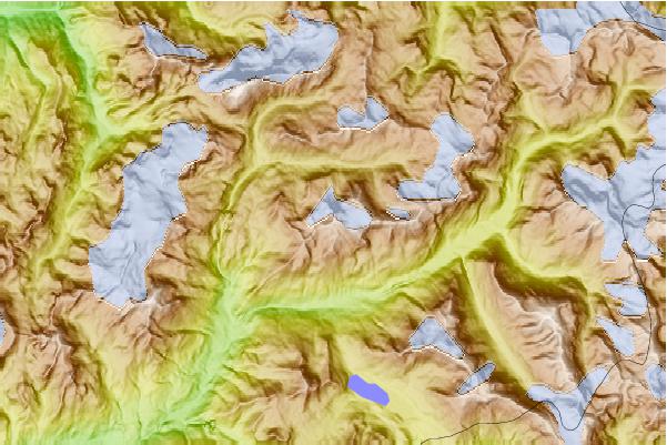
Use this relief map to navigate to mountain peaks in the area of Grand Roc Noir.
10 other mountain peaks closest to Grand Roc Noir:
| 1. | Refuge du Cuchet (2160 m) | 3.4 km |
| 2. | Refuge de Vallonbrun (2272 m) | 4.2 km |
| 3. | Refuge du Plan du Lac (2385 m) | 4.6 km |
| 4. | Refuge de la Femma (2352 m) | 4.7 km |
| 5. | Pointes du Châtelard (3479 m) | 4.9 km |
| 6. | Pointe de Claret (3355 m) | 6.3 km |
| 7. | Espace VTT Chantelouve (2242 m) | 6.3 km |
| 8. | Pointe de la Sana (3436 m) | 6.5 km |
| 9. | Pointe de la Réchasse (3212 m) | 8.5 km |
| 10. | Pointe de Méan Martin (3330 m) | 8.7 km |