– Lat/Long: 57.10° N 5.24° W
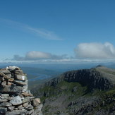
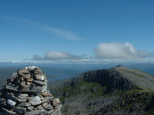
 Gleouraich
Weather Forecast, United KingdomIssued: 6 pm Wed 22 Jul Local TimeUpdates in: hr min sUpdate imminent
Issued: 6 pm Wed 22 Jul Local Time
Updates in:
Update imminent hr min s

Issued: 6 pm Wed 22 Jul Local Time
Updates in:
Update imminent hr min s
Days 1–4 Weather SummaryModerate rain (total 10mm), heaviest on Fri night. Very mild (max 14°C on Wed afternoon, min 10°C on Thu night). Winds increasing (light winds from the NW on Wed night, fresh winds from the WSW by Fri night). | Days 5–7 Weather SummaryHeavy rain (total 22mm), heaviest during Mon afternoon. Very mild (max 13°C on Tue morning, min 9°C on Sat night). Mainly fresh winds. | ||||||||||||||||
Wed 22 | Thursday 23 | Friday 24 | Saturday 25 | Sunday 26 | Monday 27 | ||||||||||||
PM | night | AM | PM | night | AM | PM | night | AM | PM | night | AM | PM | night | AM | PM | night | |
light rain | rain shwrs | rain shwrs | rain shwrs | light rain | light rain | light rain | mod. rain | light rain | rain shwrs | rain shwrs | rain shwrs | some clouds | light rain | light rain | heavy rain | light rain | |
Cloud base (m) | 350 | 500 | 450 | 800 | 450 | 350 | 350 | 250 | 250 | 550 | 550 | 850 | 1650 | 400 | 300 | 300 | 300 |
km/h | |||||||||||||||||
 |  |  |  |  |  | ||||||||||||
— | — | — | — | — | — | — | — | — | — | — | — | — | — | — | — | — | |
mm | 0.1 | 0.1 | 0.1 | 0.1 | 0.6 | 0.4 | 1.2 | 7 | 1 | 1.2 | 0.4 | 0.3 | — | 0.9 | 1.4 | 13 | 4 |
max °C | 14 | 12 | 14 | 14 | 11 | 12 | 13 | 11 | 11 | 11 | 10 | 12 | 12 | 10 | 11 | 11 | 12 |
min °C | 13 | 11 | 13 | 12 | 10 | 11 | 11 | 10 | 10 | 10 | 9 | 11 | 11 | 9 | 10 | 11 | 12 |
chill °C | 12 | 10 | 12 | 10 | 8 | 8 | 8 | 6 | 7 | 8 | 7 | 10 | 9 | 6 | 8 | 8 | 10 |
Freezing level m | 3800 | 3550 | 3700 | 3800 | 4000 | 3900 | 3350 | 3600 | 3300 | 2650 | 2650 | 2700 | 2400 | 2950 | 3150 | 3200 | 3450 |
— | — | 5:00 | — | — | 5:01 | — | — | 5:03 | — | — | 5:05 | — | — | 5:07 | — | — | |
9:53 | — | — | 9:52 | — | — | 9:50 | — | — | 9:49 | — | — | 9:46 | — | — | 9:45 | — | |
Loading...
Gleouraich Weather (Days 0-3):
The weather forecast for Gleouraich is: Moderate rain (total 10mm), heaviest on Fri night. Very mild (max 14°C on Wed afternoon, min 10°C on Thu night). Winds increasing (light winds from the NW on Wed night, fresh winds from the WSW by Fri night).
Gleouraich Weather (Days 3-6):
Heavy rain (total 22mm), heaviest during Mon afternoon. Very mild (max 13°C on Tue morning, min 9°C on Sat night). Mainly fresh winds.
This table gives the weather forecast for Gleouraich at the specific elevation of 500 m. Our advanced weather models allow us to provide distinct weather forecasts for several elevations of Gleouraich. To see the weather forecasts for the other elevations, use the tab navigation above the table. For a wider overview of the weather, consult the Weather Map of United Kingdom.