Frenchman's Cap Guide
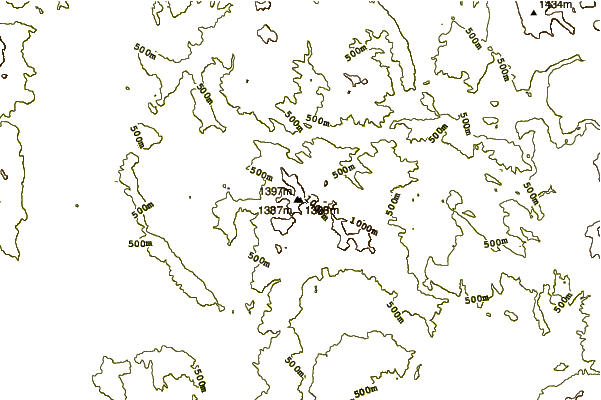
- Elevation: 1444
- Difficulty: -
- Best months to climb: -
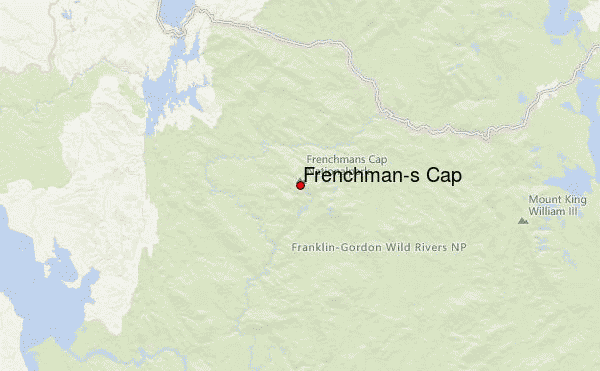
- Convenient center: Derwent
Frenchman's Cap climbers Notes
Jameson Fegan from AUSTRALIA writes:
Parking off the A10 Lyell Highway in the car park for Frenchmans Cap.
Frenchmans Cap is a moderate to difficult hike depending on ones abilities.
Allow for a day or two, again depending on ones abilities and the weather, and it is best to hike with someone.
The weather can turn quickly on Tasmania's West Coast. Quality hiking gear is beneficial and a decent fitness level.
2018-08-10 |
Click here to submit your own climbing note for Frenchman's Cap
|
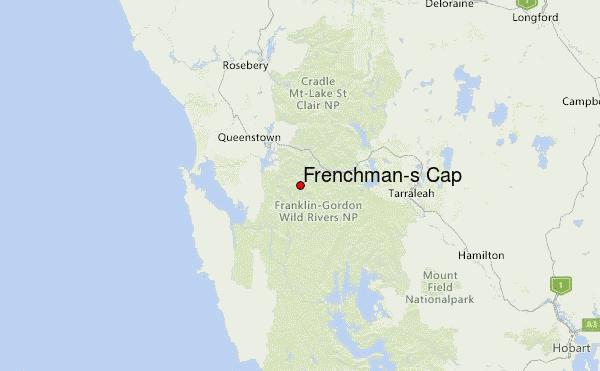
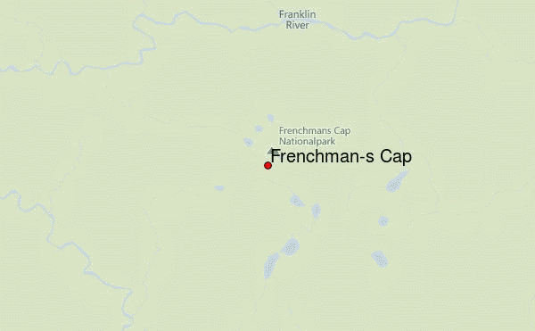
Select Frenchman's Cap Location Map Detail:
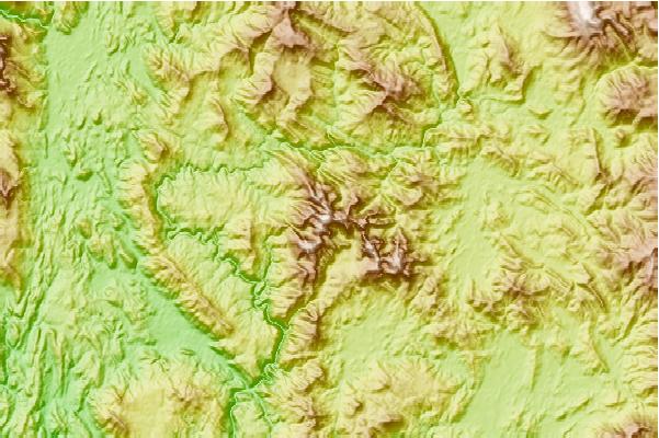
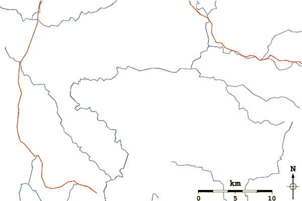
Use this relief map to navigate to mountain peaks in the area of Frenchman's Cap.
10 other mountain peaks closest to Frenchman's Cap:
 Frenchman's Cap (Frenchman-s Cap) – Climbing, Hiking & Mountaineering information