– Lat/Long: 35.32° N 111.66° W
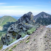
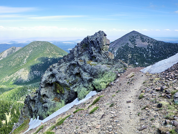
 Fremont Peak
Weather Forecast, United StatesIssued: 10 pm Fri 31 Jul Local TimeUpdates in: hr min sUpdate imminent
Issued: 10 pm Fri 31 Jul Local Time
Updates in:
Update imminent hr min s

Issued: 10 pm Fri 31 Jul Local Time
Updates in:
Update imminent hr min s
Days 1–4 Weather SummaryMostly dry. Very mild (max 17°C on Sat afternoon, min 14°C on Mon morning). Winds increasing (calm on Sat morning, fresh winds from the W by Mon afternoon). | Days 5–7 Weather SummaryHeavy rain (total 26mm), heaviest during Thu afternoon. Very mild (max 16°C on Tue afternoon, min 13°C on Mon night). Winds decreasing (strong winds from the WNW on Tue night, calm by Thu morning). | ||||||||||||||||||
Saturday 1 | Sunday 2 | Monday 3 | Tuesday 4 | Wednesday 5 | Thursday 6 | ||||||||||||||
night | AM | PM | night | AM | PM | night | AM | PM | night | AM | PM | night | AM | PM | night | AM | PM | night | |
clear | clear | some clouds | clear | clear | some clouds | clear | clear | some clouds | clear | clear | some clouds | clear | clear | rain shwrs | rain shwrs | clear | risk tstorm | rain shwrs | |
Cloud base (m) | 5600 | 5300 | 5950 | 5800 | 5550 | 5700 | 5700 | 6100 | 5750 | 4550 | 5700 | ||||||||
km/h | |||||||||||||||||||
 |  |  |  |  |  |  | |||||||||||||
— | — | — | — | — | — | — | — | — | — | — | — | — | — | — | — | — | — | — | |
mm | — | — | — | — | — | — | — | — | — | — | — | — | — | — | 3 | 0.5 | — | 22 | 0.6 |
max °C | 16 | 16 | 17 | 17 | 16 | 17 | 16 | 15 | 16 | 15 | 15 | 16 | 15 | 14 | 15 | 14 | 14 | 14 | 14 |
min °C | 15 | 15 | 16 | 16 | 16 | 17 | 15 | 14 | 16 | 13 | 14 | 16 | 14 | 14 | 13 | 13 | 14 | 13 | 12 |
chill °C | 15 | 15 | 16 | 14 | 16 | 16 | 13 | 12 | 14 | 11 | 12 | 15 | 12 | 13 | 11 | 11 | 13 | 13 | 11 |
Freezing level m | 5750 | 5800 | 5900 | 5800 | 5750 | 5900 | 5750 | 5650 | 5750 | 5550 | 5600 | 5750 | 5600 | 5500 | 5400 | 5450 | 5450 | 5450 | 5400 |
— | 5:35 | — | — | 5:35 | — | — | 5:37 | — | — | 5:37 | — | — | 5:37 | — | — | 5:39 | — | — | |
— | — | 7:29 | — | — | 7:29 | — | — | 7:28 | — | — | 7:27 | — | — | 7:25 | — | — | 7:24 | — | |
Loading...
Fremont Peak Weather (Days 0-3):
The weather forecast for Fremont Peak is: Mostly dry. Very mild (max 17°C on Sat afternoon, min 14°C on Mon morning). Winds increasing (calm on Sat morning, fresh winds from the W by Mon afternoon).
Fremont Peak Weather (Days 3-6):
Heavy rain (total 26mm), heaviest during Thu afternoon. Very mild (max 16°C on Tue afternoon, min 13°C on Mon night). Winds decreasing (strong winds from the WNW on Tue night, calm by Thu morning).
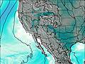
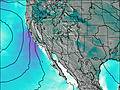
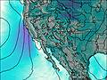
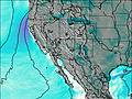
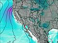
This table gives the weather forecast for Fremont Peak at the specific elevation of 3648 m. Our advanced weather models allow us to provide distinct weather forecasts for several elevations of Fremont Peak. To see the weather forecasts for the other elevations, use the tab navigation above the table. For a wider overview of the weather, consult the Weather Map of Arizona.
| Weather Station | Temp. | Weather | Wind | Gusts | Cloud / Visibility |
|---|---|---|---|---|---|
Elden - AZHPA | |||||
Flagstaff Airport | |||||
* NOTE: not all weather observatories update at the same frequency which is the reason why some locations may show data from stations that are further away than known closer ones.