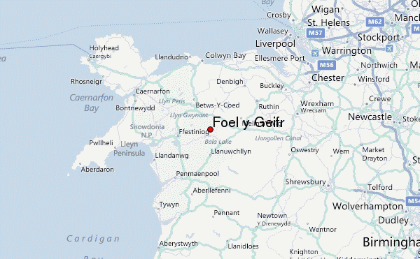
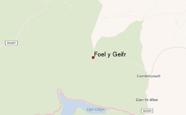
– Lat/Long: 52.98° N 3.68° W
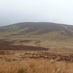
 Foel y Geifr – Climbing, Hiking & Mountaineering information

Foel y Geifr Guide
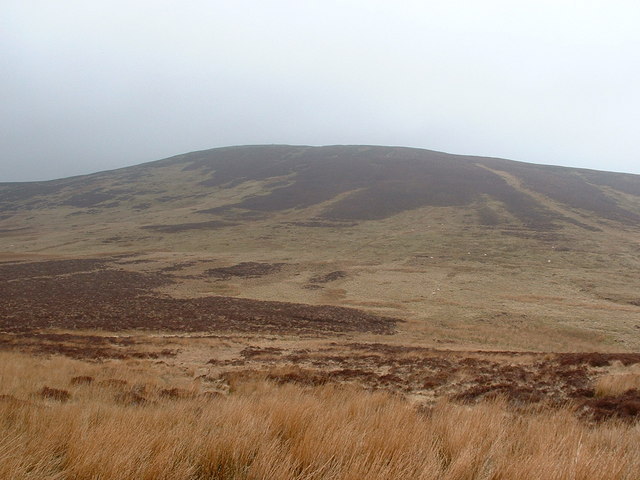
- Elevation: 626
- Difficulty: -
- Best months to climb: -
- Convenient center: -
Foel y Geifr climbers NotesBe the first to submit your climbers note! Please submit any useful information about climbing Foel y Geifr that may be useful to other climbers. Consider things such as access and accommodation at the base of Foel y Geifr, as well as the logistics of climbing to the summit. |
| Select a
mountain summit from the menu |
||
|
Select a Mountain Summit
|
||
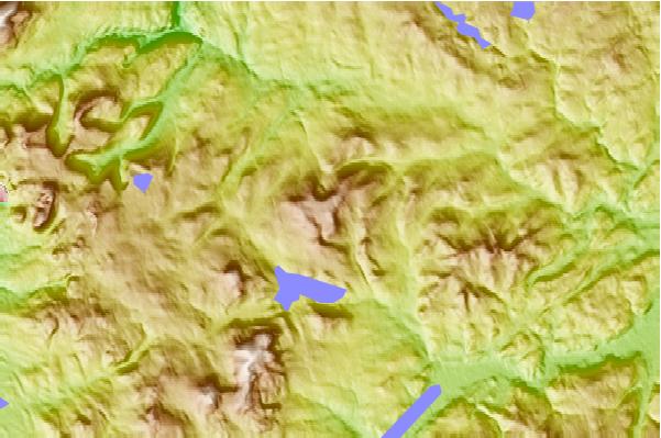
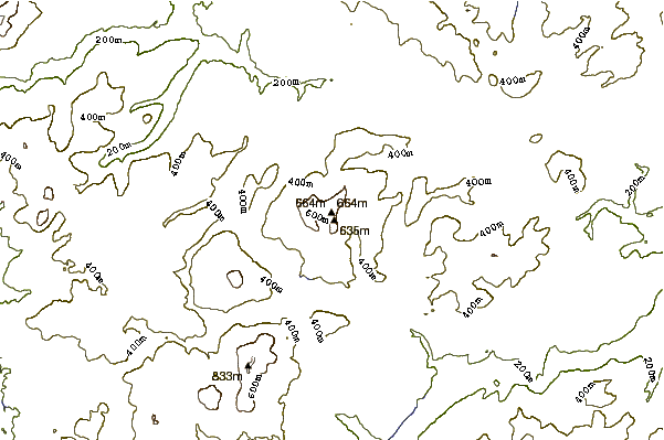
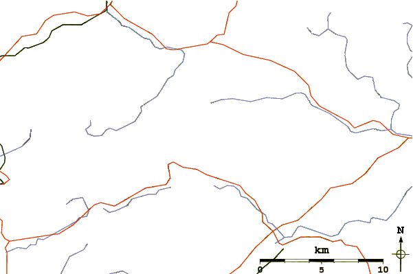
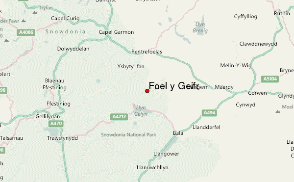
Use this relief map to navigate to mountain peaks in the area of Foel y Geifr.
10 other mountain peaks closest to Foel y Geifr:
| 1. | Trum y Gwragedd (612 m) | 0.0 km |
| 2. | Foel Goch (Hirnant) (613 m) | 0.0 km |
| 3. | Waun Garnedd-y-filiast (650 m) | 0.0 km |
| 4. | Carnedd Llechwedd-llyfn (643 m) | 0.0 km |
| 5. | Carnedd y Filiast (Cerrigydrudion) (669 m) | 0.0 km |
| 6. | Arenig Fach (689 m) | 5.7 km |
| 7. | Arenig Fawr South Top (836 m) | 8.4 km |
| 8. | Arenig Fawr South Ridge Top (712 m) | 8.4 km |
| 9. | Foel Boeth (616 m) | 8.4 km |
| 10. | Gallt y Daren (619 m) | 8.4 km |