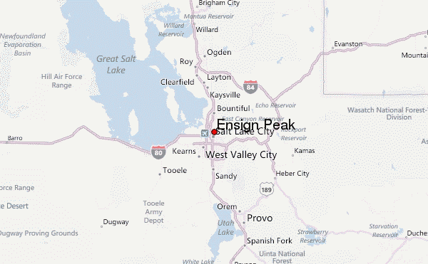
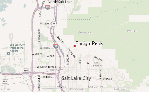
– Lat/Long: 40.79° N 111.89° W
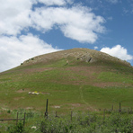
 Ensign Peak – Climbing, Hiking & Mountaineering information

Ensign Peak Guide
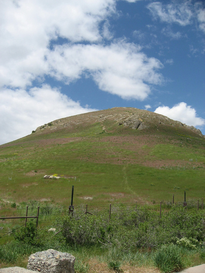
- Elevation: 1650
- Difficulty: -
- Best months to climb: -
- Convenient center: -
Ensign Peak climbers NotesBe the first to submit your climbers note! Please submit any useful information about climbing Ensign Peak that may be useful to other climbers. Consider things such as access and accommodation at the base of Ensign Peak, as well as the logistics of climbing to the summit. |
| Select a
mountain summit from the menu |
||
|
Select a Mountain Summit
|
||
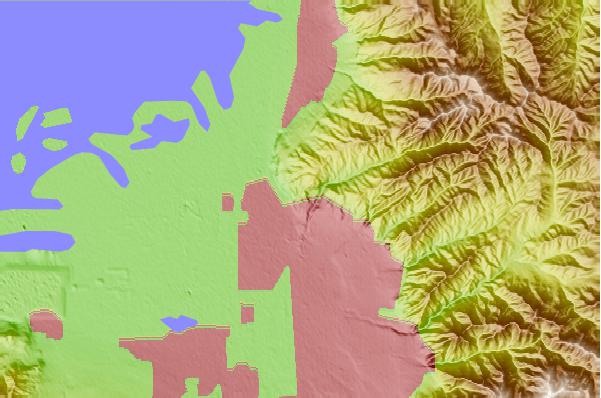
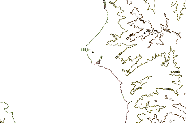
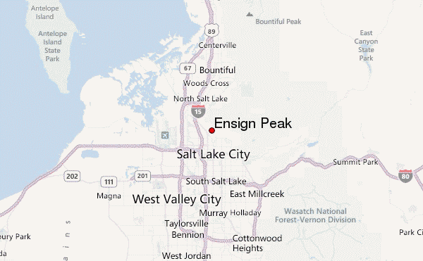
Use this relief map to navigate to mountain peaks in the area of Ensign Peak.
10 other mountain peaks closest to Ensign Peak:
| 1. | Mount Van Cott (1932 m) | 5.9 km |
| 2. | Mount Wire (2175 m) | 8.2 km |
| 3. | Mount Olympus (2751 m) | 19.1 km |
| 4. | Big Water Yurt (2292 m) | 23.9 km |
| 5. | Woodward Park City (2136 m) | 26.2 km |
| 6. | Twin Peaks (Utah) (3453 m) | 26.5 km |
| 7. | Sundial Peak (3146 m) | 27.9 km |
| 8. | Farnsworth Peak (2763 m) | 30.2 km |
| 9. | Solitude Bike Park (3070 m) | 31.4 km |
| 10. | Lone Peak (3430 m) | 31.9 km |