– Lat/Long: 56.50° N 133.10° W
 Duncan Canal (volcanic field) – Climbing, Hiking & Mountaineering information

Duncan Canal (volcanic field) Guide
- Elevation: 15
- Difficulty: -
- Best months to climb: -
- Convenient center: -
Duncan Canal (volcanic field) climbers NotesBe the first to submit your climbers note! Please submit any useful information about climbing Duncan Canal (volcanic field) that may be useful to other climbers. Consider things such as access and accommodation at the base of Duncan Canal (volcanic field), as well as the logistics of climbing to the summit. |
| Select a
mountain summit from the menu |
||
|
Select a Mountain Summit
|
||
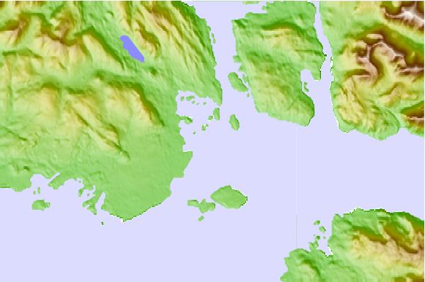
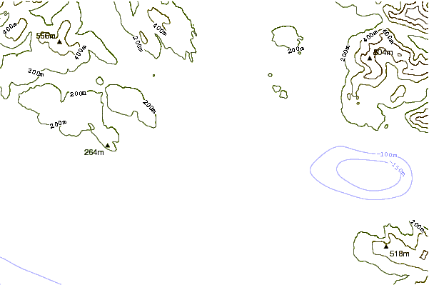
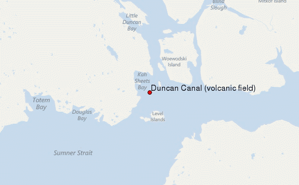
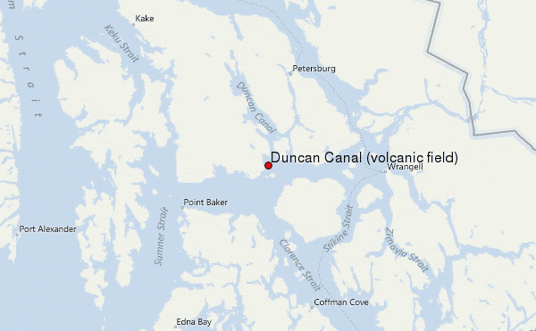
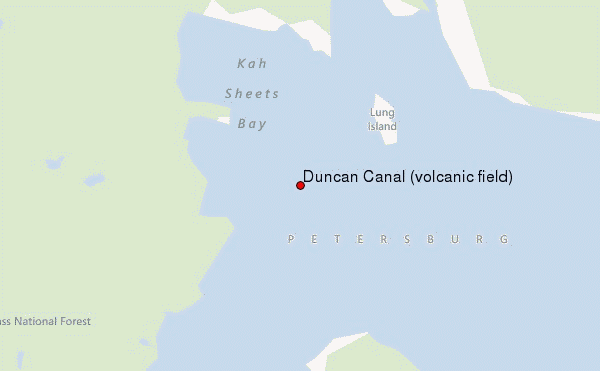
Use this relief map to navigate to mountain peaks in the area of Duncan Canal (volcanic field).
10 other mountain peaks closest to Duncan Canal (volcanic field):
| 1. | Manzanita Peak (813 m) | 28.8 km |
| 2. | Sam Peak (736 m) | 30.9 km |
| 3. | Favor Peak (575 m) | 34.4 km |
| 4. | Kates Needle (3063 m) | 88.4 km |
| 5. | Devils Thumb (2767 m) | 89.3 km |
| 6. | Mount Ratz (3090 m) | 110.5 km |
| 7. | Little Bear Mountain (1181 m) | 115.1 km |
| 8. | Hoodoo Mountain (1820 m) | 115.7 km |
| 9. | Mount Furuhelm (3620 m) | 127.3 km |
| 10. | Peak 5390 (1643 m) | 128.7 km |