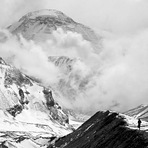
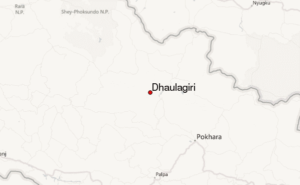
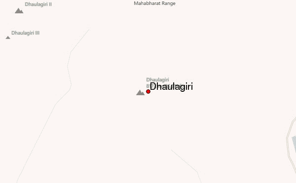
– Lat/Long: 28.70° N 83.50° E


Dhaulagiri Mountain Information
Western Nepal Himalaya · Nepal
Dhaulagiri Guide
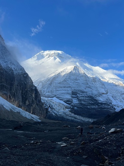
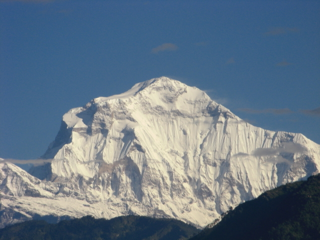
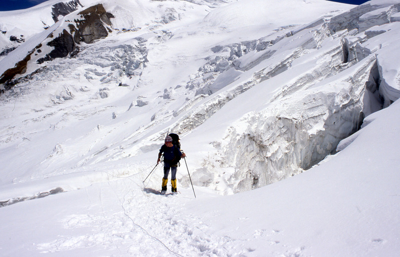
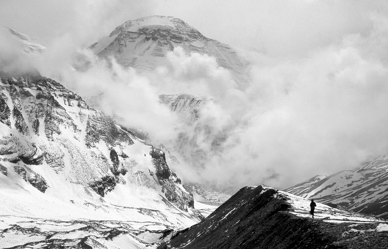
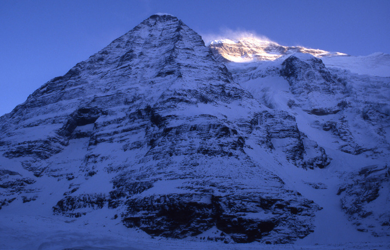
- Elevation: 8167
- Difficulty: Major Mountain Expedition
- Best months to climb: April, May
- Convenient center: Pokhara, Nepal
Dhaulagiri climbers Notes
|
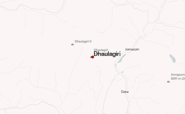
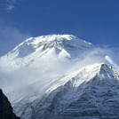
Latest Gallery Images for Dhaulagiri

| Select a
mountain summit from the menu |
||
|
Select a Mountain Summit
|
||
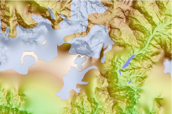
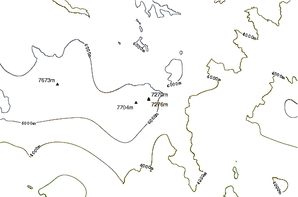
Use this relief map to navigate to mountain peaks in the area of Dhaulagiri.
10 other mountain peaks closest to Dhaulagiri:
| 1. | Thapa Peak (6000 m) | 15.6 km |
| 2. | Nilgiri Himal (7061 m) | 22.9 km |
| 3. | Tilicho Peak (7134 m) | 30.2 km |
| 4. | Poon Hill (3210 m) | 38.7 km |
| 5. | Singu Chuli (6501 m) | 41.5 km |
| 6. | Annapurna Sanctuary (4130 m) | 41.7 km |
| 7. | Hiunchuli (6441 m) | 42.8 km |
| 8. | Gangapurna (7455 m) | 45.6 km |
| 9. | Annapurna (8091 m) | 46.2 km |
| 10. | Machhapuchhare (7000 m) | 49.5 km |