– Lat/Long: 46.13° N 6.84° E
 Dents Blanches – Climbing, Hiking & Mountaineering information

Dents Blanches Guide
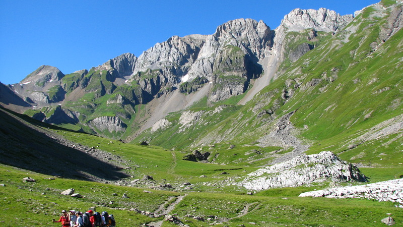
- Elevation: 2759
- Difficulty: -
- Best months to climb: -
- Convenient center: -
Dents Blanches climbers NotesBe the first to submit your climbers note! Please submit any useful information about climbing Dents Blanches that may be useful to other climbers. Consider things such as access and accommodation at the base of Dents Blanches, as well as the logistics of climbing to the summit. |
| Select a
mountain summit from the menu |
||
|
Select a Mountain Summit
|
||
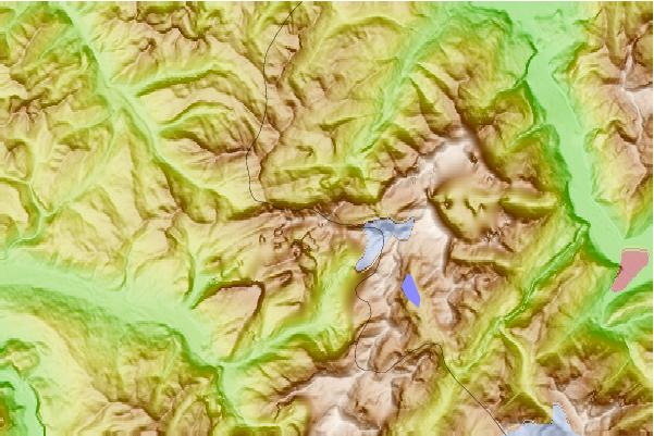
Use this relief map to navigate to mountain peaks in the area of Dents Blanches.
10 other mountain peaks closest to Dents Blanches:
| 1. | Cantine des Dents Blanches (1494 m) | 2.0 km |
| 2. | Cantine de Barmaz (1491 m) | 2.0 km |
| 3. | Refuge de la Vogealle (1897 m) | 2.2 km |
| 4. | Refuge de Bonavau (1550 m) | 2.8 km |
| 5. | Bikepark Champéry (1921 m) | 3.9 km |
| 6. | Cabane de Susanfe CAS (2102 m) | 4.4 km |
| 7. | Mont Ruan (3057 m) | 4.8 km |
| 8. | Refuge de Bostan-Tornay (1763 m) | 4.9 km |
| 9. | Gîte de Chardonnière (1352 m) | 5.3 km |
| 10. | Bikepark Les Crosets (2154 m) | 5.8 km |