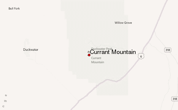
– Lat/Long: 38.91° N 115.42° W
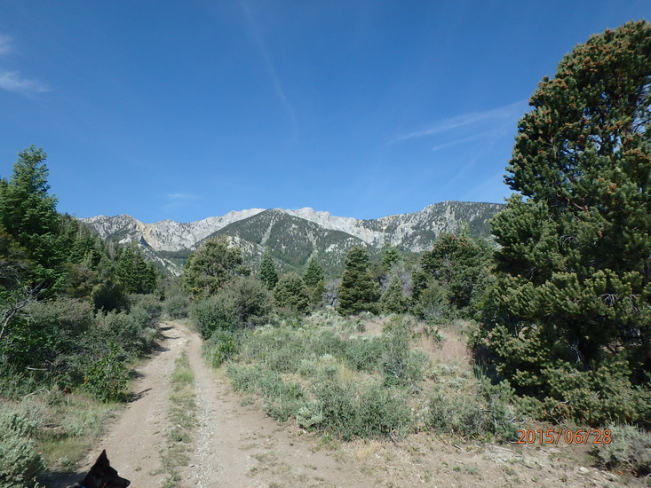
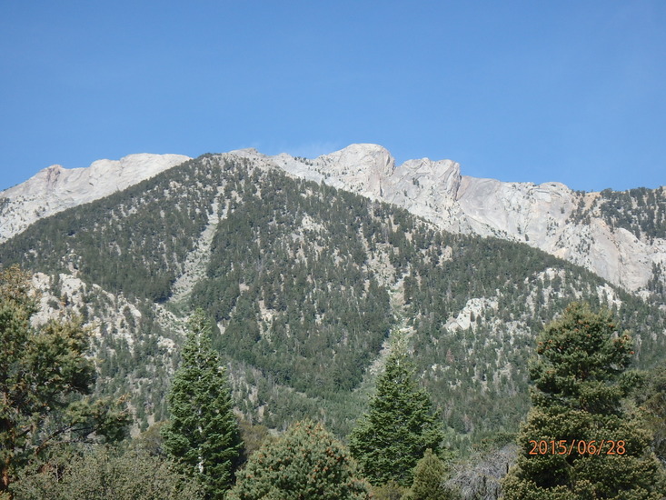
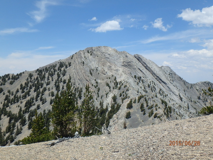
 Currant Mountain – Climbing, Hiking & Mountaineering information

Currant Mountain Guide
- Elevation: 3511
- Difficulty: -
- Best months to climb: -
- Convenient center: -
Currant Mountain climbers NotesBe the first to submit your climbers note! Please submit any useful information about climbing Currant Mountain that may be useful to other climbers. Consider things such as access and accommodation at the base of Currant Mountain, as well as the logistics of climbing to the summit. |
| Select a
mountain summit from the menu |
||
|
Select a Mountain Summit
|
||
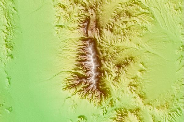
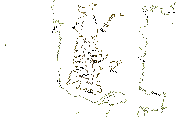
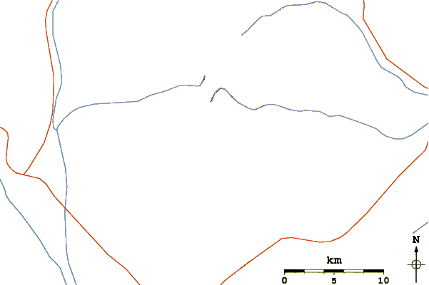
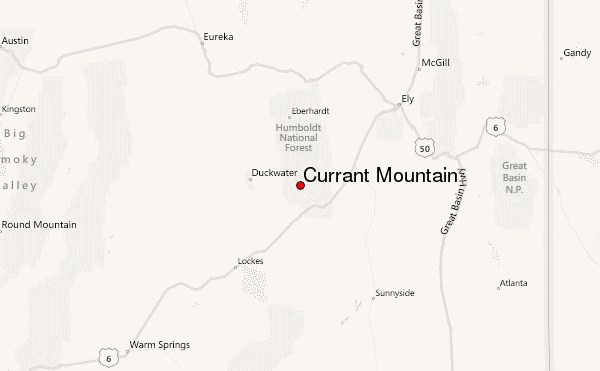
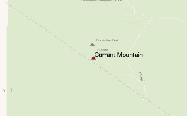
Use this relief map to navigate to mountain peaks in the area of Currant Mountain.
10 other mountain peaks closest to Currant Mountain:
| 1. | Ward Mountain (Nevada) (3335 m) | 48.4 km |
| 2. | Mount Grafton (3352 m) | 64.0 km |
| 3. | Troy Peak (3445 m) | 66.1 km |
| 4. | North Schell Peak (3622 m) | 90.6 km |
| 5. | Mount Washington (Nevada) (3553 m) | 96.6 km |
| 6. | Wheeler Peak (3982 m) | 96.7 km |
| 7. | Mount Moriah (Nevada) (3679 m) | 113.3 km |
| 8. | Mount Jefferson (Nevada) (3642 m) | 131.4 km |
| 9. | Eagle Butte (Nevada) (2561 m) | 137.8 km |
| 10. | Conger Mountain (2482 m) | 151.3 km |