– Lat/Long: 50.67° N 1.11° W
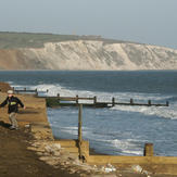
 Culver Down (Isle of Wight)
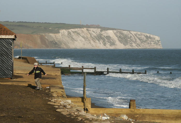
Weather Forecast, United KingdomIssued: 12 pm Mon 03 Aug Local TimeUpdates in: hr min sUpdate imminent
Issued: 12 pm Mon 03 Aug Local Time
Updates in:
Update imminent hr min s

Issued: 12 pm Mon 03 Aug Local Time
Updates in:
Update imminent hr min s
Days 1–3 Weather SummaryMostly dry. Warm (max 24°C on Mon afternoon, min 14°C on Wed night). Winds increasing (light winds from the SW on Mon night, strong winds from the WSW by Wed morning). | Days 4–6 Weather SummaryMostly dry. Warm (max 21°C on Sat night, min 15°C on Thu morning). Winds decreasing (fresh winds from the WSW on Thu afternoon, light winds from the NNW by Fri night). | |||||||||||||||||
Monday 3 | Tuesday 4 | Wednesday 5 | Thursday 6 | Friday 7 | Saturday 8 | |||||||||||||
AM | PM | night | AM | PM | night | AM | PM | night | AM | PM | night | AM | PM | night | AM | PM | night | |
clear | clear | clear | some clouds | clear | rain shwrs | rain shwrs | clear | clear | clear | clear | some clouds | clear | cloudy | some clouds | clear | clear | clear | |
Cloud base (m) | 4500 | 4100 | 6450 | 400 | 2050 | 9550 | 6750 | 5400 | 3150 | |||||||||
km/h | ||||||||||||||||||
 |  |  |  |  |  | |||||||||||||
— | — | — | — | — | — | — | — | — | — | — | — | — | — | — | — | — | — | |
mm | — | — | — | — | — | 0.1 | 0.1 | — | — | — | — | — | — | — | — | — | — | — |
max °C | 21 | 24 | 22 | 20 | 20 | 18 | 18 | 19 | 17 | 18 | 19 | 18 | 17 | 18 | 17 | 20 | 20 | 21 |
min °C | 20 | 23 | 19 | 19 | 19 | 17 | 17 | 19 | 14 | 15 | 19 | 16 | 17 | 18 | 15 | 18 | 20 | 18 |
chill °C | 20 | 23 | 19 | 18 | 18 | 15 | 15 | 18 | 12 | 13 | 18 | 15 | 17 | 18 | 15 | 18 | 20 | 18 |
Freezing level m | 3800 | 3900 | 4000 | 3900 | 3900 | 4100 | 3650 | 3550 | 3250 | 2850 | 3250 | 3450 | 3400 | 3400 | 3250 | 3600 | 3750 | 3800 |
5:33 | — | — | 5:33 | — | — | 5:35 | — | — | 5:37 | — | — | 5:39 | — | — | 5:39 | — | — | |
— | 8:46 | — | — | 8:45 | — | — | 8:43 | — | — | 8:42 | — | — | 8:39 | — | — | 8:37 | — | |
Loading...
Culver Down (Isle of Wight) Weather (Days 0-3):
The weather forecast for Culver Down (Isle of Wight) is: Mostly dry. Warm (max 24°C on Mon afternoon, min 14°C on Wed night). Winds increasing (light winds from the SW on Mon night, strong winds from the WSW by Wed morning).
Culver Down (Isle of Wight) Weather (Days 3-6):
Mostly dry. Warm (max 21°C on Sat night, min 15°C on Thu morning). Winds decreasing (fresh winds from the WSW on Thu afternoon, light winds from the NNW by Fri night).
This table gives the weather forecast for Culver Down (Isle of Wight) at the specific elevation of 104 m. Our advanced weather models allow us to provide distinct weather forecasts for several elevations of Culver Down (Isle of Wight). To see the weather forecasts for the other elevations, use the tab navigation above the table. For a wider overview of the weather, consult the Weather Map of United Kingdom.