– Lat/Long: 15.52° S 72.65° W
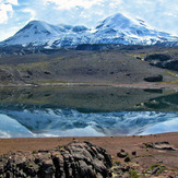
 Coropuna
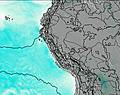
Weather Forecast, PeruIssued: 12 am Mon 03 Aug Local TimeUpdates in: hr min sUpdate imminent
Issued: 12 am Mon 03 Aug Local Time
Updates in:
Update imminent hr min s

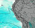
Issued: 12 am Mon 03 Aug Local Time
Updates in:
Update imminent hr min s
Days 1–4 Weather SummaryMostly dry. Temperatures will be well below freezing (max -8°C on Mon morning, min -10°C on Sun night). Mainly fresh winds. | Days 5–7 Weather SummaryMostly dry. Temperatures will be well below freezing (max -7°C on Thu morning, min -10°C on Sat afternoon). Wind will be generally light. | ||||||||||||||||||
Monday 3 | Tuesday 4 | Wednesday 5 | Thursday 6 | Friday 7 | Saturday 8 | ||||||||||||||
night | AM | PM | night | AM | PM | night | AM | PM | night | AM | PM | night | AM | PM | night | AM | PM | night | |
clear | clear | clear | clear | clear | clear | clear | clear | clear | clear | clear | clear | clear | clear | clear | clear | clear | clear | clear | |
Cloud base (m) | |||||||||||||||||||
km/h | |||||||||||||||||||
 |  |  |  |  |  |  | |||||||||||||
— | — | — | — | — | — | — | — | — | — | — | — | — | — | — | — | — | — | — | |
mm | — | — | — | — | — | — | — | — | — | — | — | — | — | — | — | — | — | — | — |
max °C | -10 | -8 | -9 | -9 | -8 | -9 | -9 | -8 | -8 | -8 | -7 | -7 | -7 | -7 | -8 | -8 | -8 | -9 | -9 |
min °C | -10 | -8 | -9 | -10 | -9 | -10 | -10 | -8 | -9 | -9 | -7 | -8 | -8 | -7 | -9 | -9 | -8 | -10 | -10 |
chill °C | -18 | -14 | -16 | -18 | -17 | -18 | -19 | -17 | -17 | -17 | -10 | -12 | -12 | -12 | -15 | -17 | -17 | -19 | -20 |
Freezing level m | 4850 | 5250 | 5250 | 5000 | 5250 | 5200 | 5000 | 5300 | 5300 | 5100 | 5450 | 5350 | 5250 | 5450 | 5300 | 5100 | 5350 | 5250 | 5000 |
— | 6:13 | — | — | 6:11 | — | — | 6:11 | — | — | 6:11 | — | — | 6:11 | — | — | 6:09 | — | — | |
— | — | 5:39 | — | — | 5:39 | — | — | 5:40 | — | — | 5:40 | — | — | 5:40 | — | — | 5:40 | — | |
Loading...
Coropuna Weather (Days 0-3):
The weather forecast for Coropuna is: Mostly dry. Temperatures will be well below freezing (max -8°C on Mon morning, min -10°C on Sun night). Mainly fresh winds.
Coropuna Weather (Days 3-6):
Mostly dry. Temperatures will be well below freezing (max -7°C on Thu morning, min -10°C on Sat afternoon). Wind will be generally light.
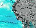
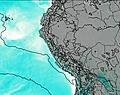
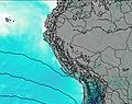
This table gives the weather forecast for Coropuna at the specific elevation of 6425 m. Our advanced weather models allow us to provide distinct weather forecasts for several elevations of Coropuna. To see the weather forecasts for the other elevations, use the tab navigation above the table. For a wider overview of the weather, consult the Weather Map of Peru.
| Weather Station | Temp. | Weather | Wind | Gusts | Cloud / Visibility |
|---|---|---|---|---|---|
Arequip / odriguez Ballon Airport | |||||
Andahuayla Airport | |||||
Cuzc / elazco Astete Airport | |||||
Ayacuch / oronel FAP Alfredo Mendívil Duarte Airport | |||||
Tacn / oronel FAP Carlos Ciriani Santa Rosa International Airport | |||||
Aric / hacalluta Airport | |||||
Arica | |||||
Defensa Civil- Arica | |||||
Pisco Airport |
* NOTE: not all weather observatories update at the same frequency which is the reason why some locations may show data from stations that are further away than known closer ones.
Coropuna Photos
View all
Cordillera Occidental photos (3) |
Andes photos (1029) |
photos from mountains in Peru (109) |
all photos
 Upload new photo
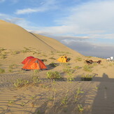
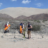

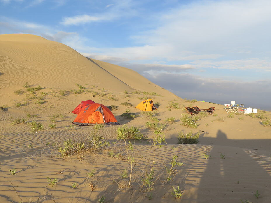
Cerro Blanco Sand Dune Camping
Sandboarders cerro blanco sand dune
Summit of Cerron Blanco Dune 2080M
Coropuna