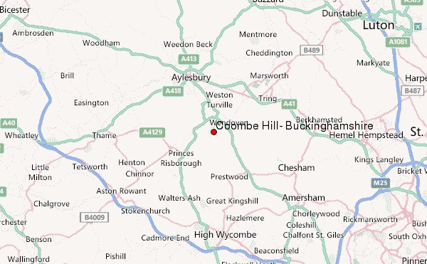
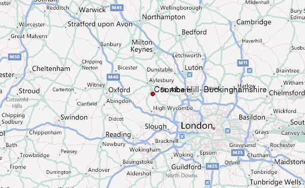
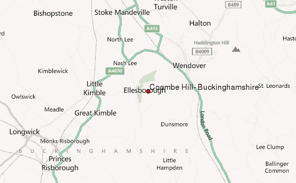
– Lat/Long: 51.75° N 0.77° W
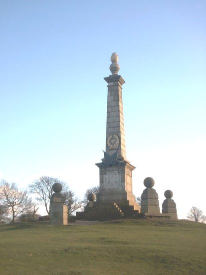
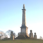
 Coombe Hill, Buckinghamshire – Climbing, Hiking & Mountaineering information

Coombe Hill, Buckinghamshire Guide
- Elevation: 260
- Difficulty: -
- Best months to climb: -
- Convenient center: -
Coombe Hill, Buckinghamshire climbers NotesBe the first to submit your climbers note! Please submit any useful information about climbing Coombe Hill, Buckinghamshire that may be useful to other climbers. Consider things such as access and accommodation at the base of Coombe Hill, Buckinghamshire, as well as the logistics of climbing to the summit. |
| Select a
mountain summit from the menu |
||
|
Select a Mountain Summit
|
||
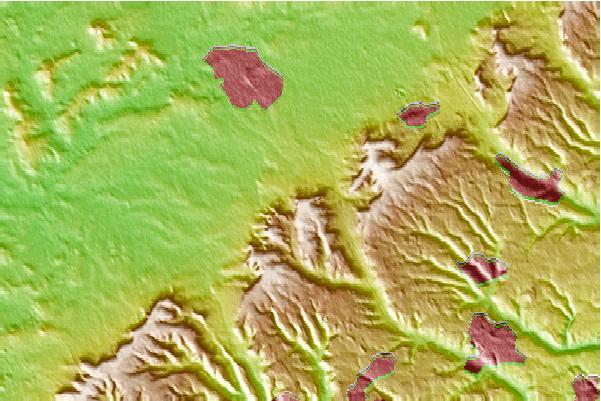
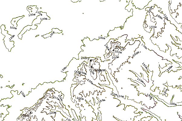
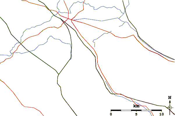
Use this relief map to navigate to mountain peaks in the area of Coombe Hill, Buckinghamshire.
10 other mountain peaks closest to Coombe Hill, Buckinghamshire:
| 1. | Haddington Hill (267 m) | 4.6 km |
| 2. | Wendover Woods (267 m) | 4.6 km |
| 3. | Pavis Wood (248 m) | 6.6 km |
| 4. | Ivinghoe Beacon (231 m) | 15.1 km |
| 5. | Dunstable Downs (243 m) | 20.3 km |
| 6. | Grim's Ditch (Harrow) (144 m) | 32.0 km |
| 7. | Therfield Heath (168 m) | 56.9 km |
| 8. | Uffington White Horse (261 m) | 58.3 km |
| 9. | Dragon Hill, Uffington (139 m) | 58.3 km |
| 10. | Arbury Hill (225 m) | 60.5 km |