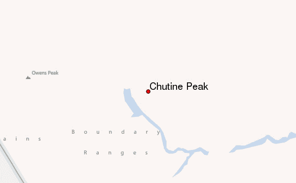
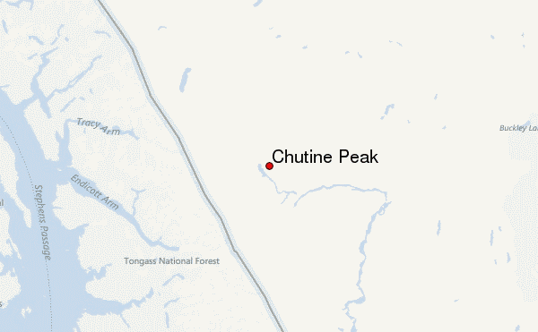
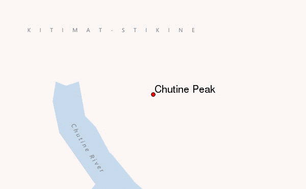
– Lat/Long: 57.78° N 132.34° W
 Chutine Peak – Climbing, Hiking & Mountaineering information

Chutine Peak Guide
- Elevation: 2903
- Difficulty: -
- Best months to climb: -
- Convenient center: -
Chutine Peak climbers NotesBe the first to submit your climbers note! Please submit any useful information about climbing Chutine Peak that may be useful to other climbers. Consider things such as access and accommodation at the base of Chutine Peak, as well as the logistics of climbing to the summit. |
| Select a
mountain summit from the menu |
||
|
Select a Mountain Summit
|
||
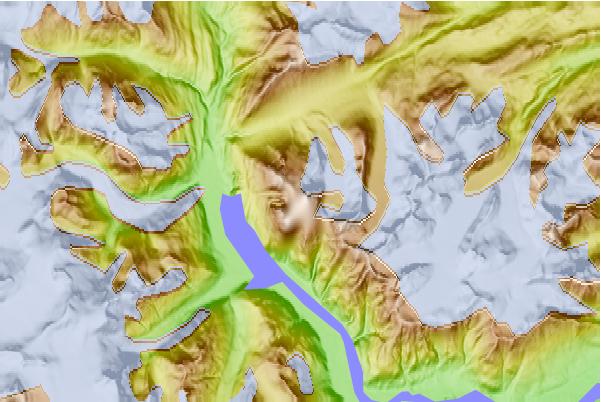
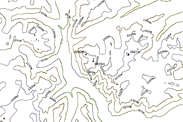
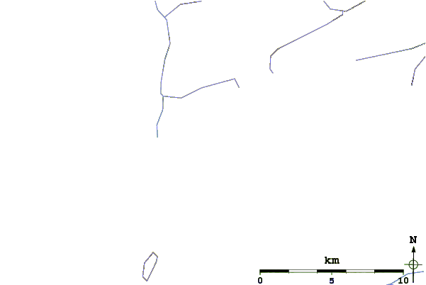
Use this relief map to navigate to mountain peaks in the area of Chutine Peak.
10 other mountain peaks closest to Chutine Peak:
| 1. | Mount Ratz (3090 m) | 42.6 km |
| 2. | Boundary Peak 79 (1720 m) | 64.9 km |
| 3. | Devils Thumb (2767 m) | 67.0 km |
| 4. | Kates Needle (3063 m) | 83.1 km |
| 5. | Level Mountain (2190 m) | 92.2 km |
| 6. | Heart Peaks (2012 m) | 94.3 km |
| 7. | Meszah Peak (2166 m) | 94.5 km |
| 8. | Tsekone Ridge (1929 m) | 97.6 km |
| 9. | Cocoa Crater (2123 m) | 98.2 km |
| 10. | Eve Cone (1702 m) | 98.9 km |