– Lat/Long: 48.05° N 24.63° E
 Chorna Gora – Climbing, Hiking & Mountaineering information

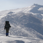
Chorna Gora Guide
- Elevation: 2020
- Difficulty: -
- Best months to climb: January, February, March, June, July, August, September, October, December
- Convenient center: Ivano-Frankivs'k, L'viv, Chernivtsi, Uzhhorod
Chorna Gora climbers NotesBe the first to submit your climbers note! Please submit any useful information about climbing Chorna Gora that may be useful to other climbers. Consider things such as access and accommodation at the base of Chorna Gora, as well as the logistics of climbing to the summit. |
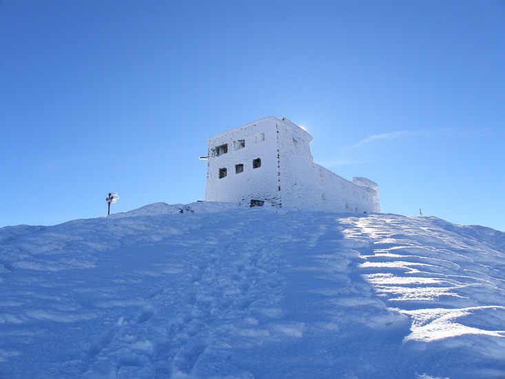
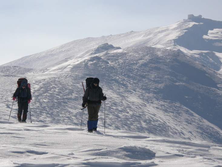
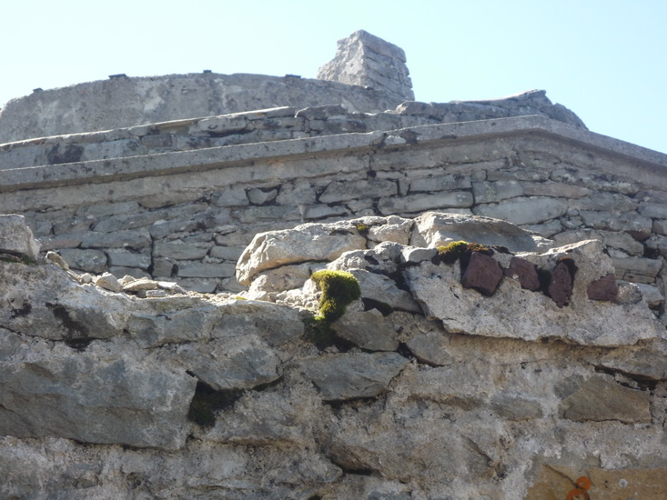
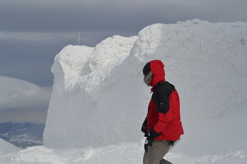
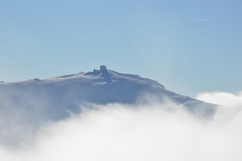
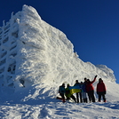
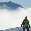
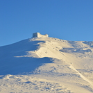
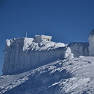
Latest Gallery Images for Chorna Gora
| Select a
mountain summit from the menu |
||
|
Select a Mountain Summit
|
||

Use this relief map to navigate to mountain peaks in the area of Chorna Gora.
10 other mountain peaks closest to Chorna Gora:
| 1. | Goverla (2061 m) | 15.8 km |
| 2. | Hoverla (2061 m) | 15.9 km |
| 3. | Bukovel Bike Park (1120 m) | 38.2 km |
| 4. | Doboshanka (1754 m) | 47.1 km |
| 5. | Pietrosul Mare (2303 m) | 50.1 km |
| 6. | Cabana Croitor (1320 m) | 63.2 km |
| 7. | Cabana Diana (1250 m) | 67.3 km |
| 8. | Giumalau (1857 m) | 93.6 km |
| 9. | Cabana Giumalău (1641 m) | 94.5 km |
| 10. | Cabana Rarău (1520 m) | 96.4 km |