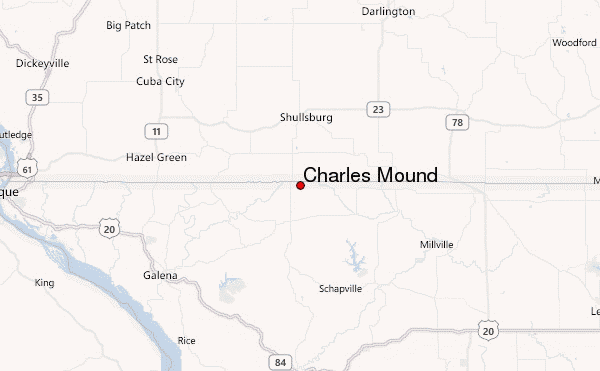
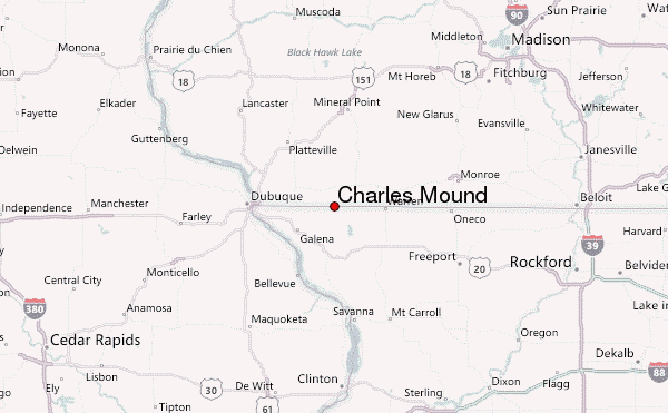
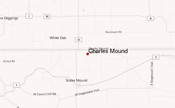
– Lat/Long: 42.50° N 90.24° W
 Charles Mound – Climbing, Hiking & Mountaineering information

Charles Mound Guide
- Elevation: 376
- Difficulty: -
- Best months to climb: -
- Convenient center: -
Charles Mound climbers NotesBe the first to submit your climbers note! Please submit any useful information about climbing Charles Mound that may be useful to other climbers. Consider things such as access and accommodation at the base of Charles Mound, as well as the logistics of climbing to the summit. |
| Select a
mountain summit from the menu |
||
|
Select a Mountain Summit
|
||
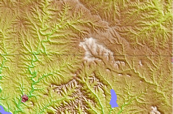
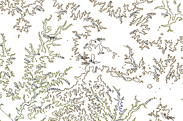
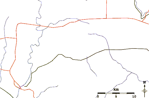
Use this relief map to navigate to mountain peaks in the area of Charles Mound.
10 other mountain peaks closest to Charles Mound:
| 1. | Far Side Bike Park @ Chestnut Mountain Resort (308 m) | 24.1 km |
| 2. | Mount Hosmer (Iowa) (317 m) | 124.9 km |
| 3. | Little Switzerland Bike Park (373 m) | 184.9 km |
| 4. | Rib Mountain (586 m) | 272.5 km |
| 5. | Timms Hill (595 m) | 328.0 km |
| 6. | Mount Kato (307 m) | 356.7 km |
| 7. | The Knob (Indiana) (316 m) | 414.5 km |
| 8. | Sand Hill (Noble County, Indiana) (328 m) | 429.0 km |
| 9. | Copper Peak (472 m) | 455.9 km |
| 10. | Hawkeye Point (509 m) | 457.7 km |