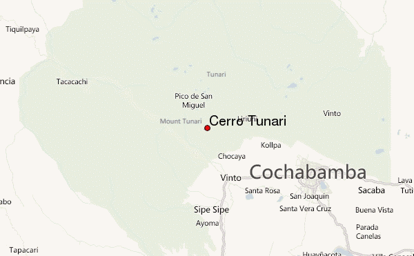
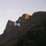
Cerro Tunari Guide
- Elevation: 5200
- Difficulty: Scramble
- Best months to climb: April, May, June
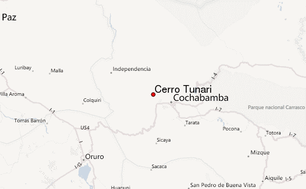
- Convenient center: Cochabamba
Cerro Tunari climbers Notes
Bastian Müller from BOLIVIA writes:
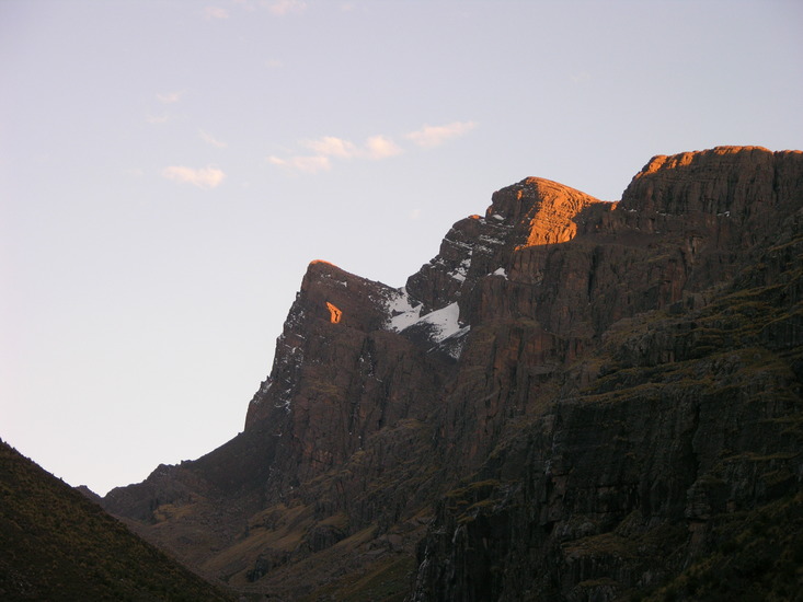
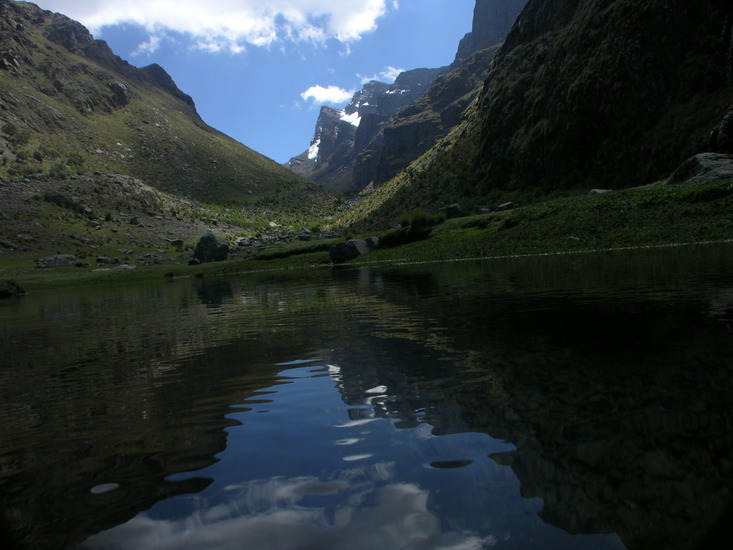
Possible starting points for the ascent on its south face:
1. From the Tunari – Mountain Lodge, located in a 120 hectares private nature reserve, at an altitude of 2.900 mts. offers comfort, great views, and eco trails for guided and self guided tours within the Tunari National Park as well as to the top of Cerro Tunari.
2. From the leisure park of Pairumani (Parque Ecoturistico Pairumani).
3. From the community of Falsuri.
2011-01-23 |
Click here to read 1 more climbing note for Cerro Tunari or submit your own
|
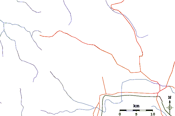
Select Cerro Tunari Location Map Detail:
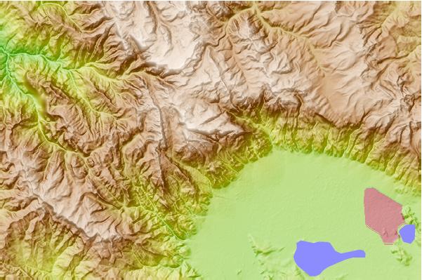
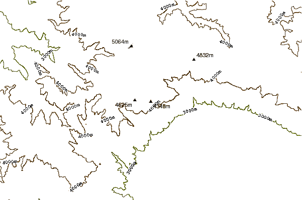
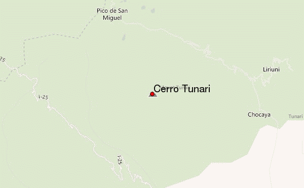
Use this relief map to navigate to mountain peaks in the area of Cerro Tunari.
10 other mountain peaks closest to Cerro Tunari:
 Cerro Tunari – Climbing, Hiking & Mountaineering information