– Lat/Long: 22.93° S 67.77° W
 Cerro Toco – Climbing, Hiking & Mountaineering information

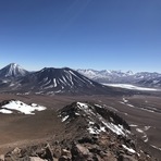
Cerro Toco Guide
- Elevation: 5604
- Difficulty: Walk up
- Best months to climb: -
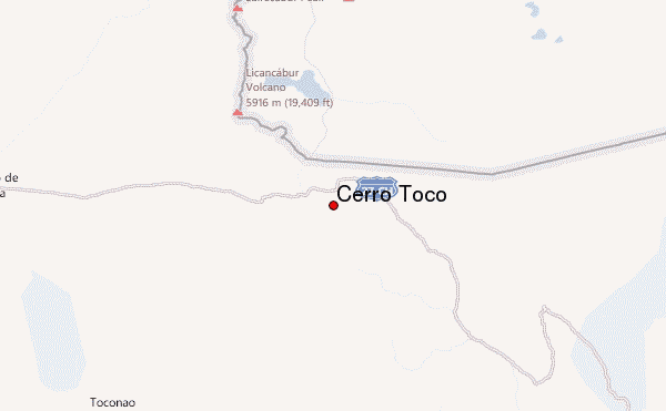
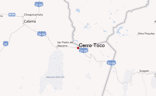
- Convenient center: San Pedro de Atacam
Cerro Toco climbers NotesBe the first to submit your climbers note! Please submit any useful information about climbing Cerro Toco that may be useful to other climbers. Consider things such as access and accommodation at the base of Cerro Toco, as well as the logistics of climbing to the summit. |
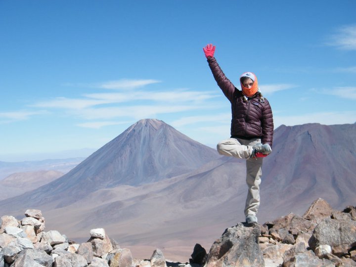
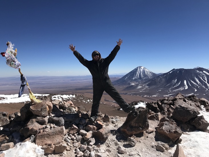
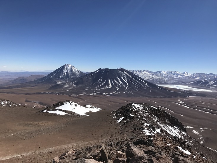
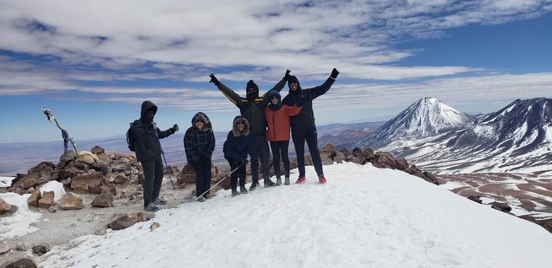
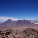
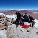
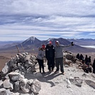
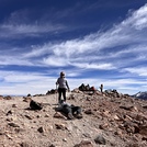
Latest Gallery Images for Cerro Toco
| Select a
mountain summit from the menu |
||
|
Select a Mountain Summit
|
||
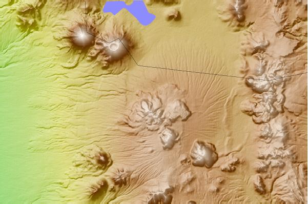
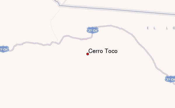
Use this relief map to navigate to mountain peaks in the area of Cerro Toco.
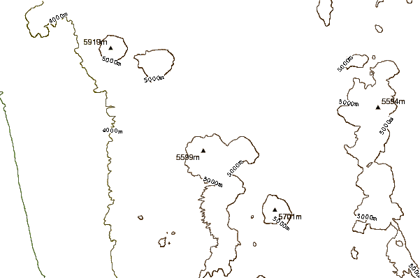
10 other mountain peaks closest to Cerro Toco:
| 1. | Purico Complex (5703 m) | 7.6 km |
| 2. | Juriques (5704 m) | 11.5 km |
| 3. | Licancabur (5930 m) | 16.3 km |
| 4. | Guayaques (5598 m) | 20.0 km |
| 5. | Sairecabur (5978 m) | 25.4 km |
| 6. | Acamarachi (6046 m) | 29.7 km |
| 7. | Colachi (5631 m) | 35.1 km |
| 8. | Laguna Verde (volcano) (5412 m) | 36.1 km |
| 9. | Escalante (El Apagado) (5819 m) | 37.6 km |
| 10. | Curiquinca (5722 m) | 38.7 km |