– Lat/Long: 43.15° N 3.68° W
 Castro Valnera – Climbing, Hiking & Mountaineering information

Castro Valnera Guide

- Elevation: 1718
- Difficulty: steep walk
- Best months to climb: all year
- Convenient center: -
Castro Valnera climbers NotesBe the first to submit your climbers note! Please submit any useful information about climbing Castro Valnera that may be useful to other climbers. Consider things such as access and accommodation at the base of Castro Valnera, as well as the logistics of climbing to the summit. |
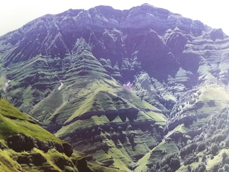
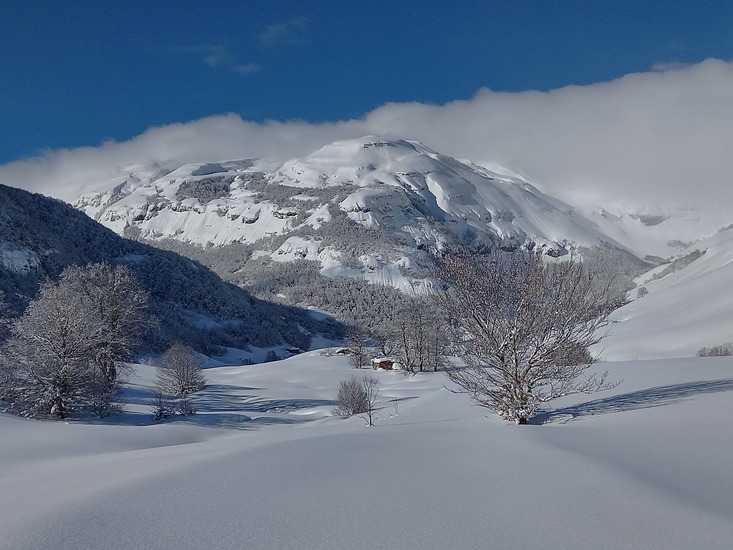
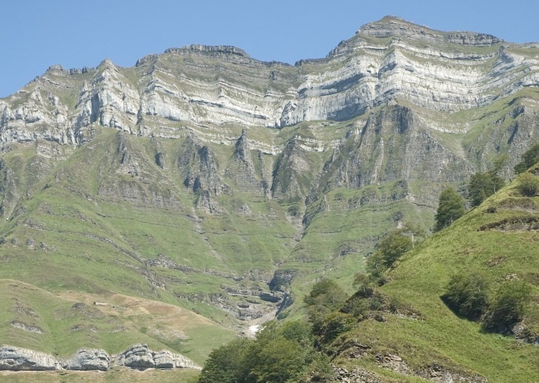
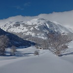
Latest Gallery Images for Castro Valnera


| Select a
mountain summit from the menu |
||
|
Select a Mountain Summit
|
||
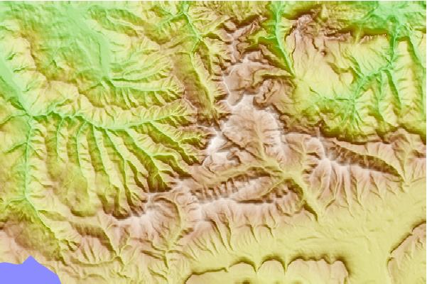
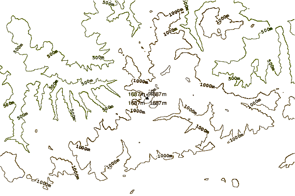
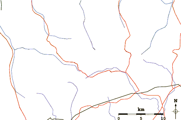
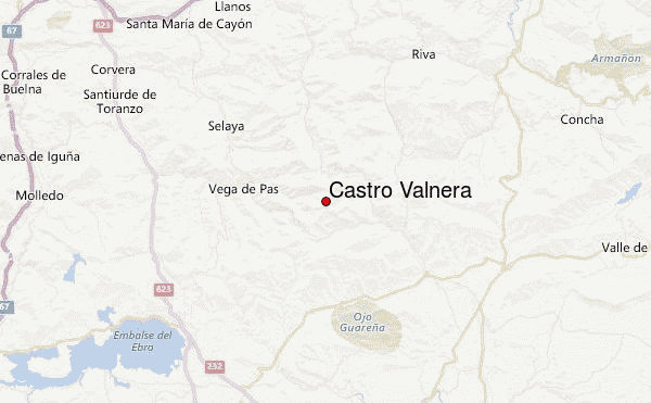
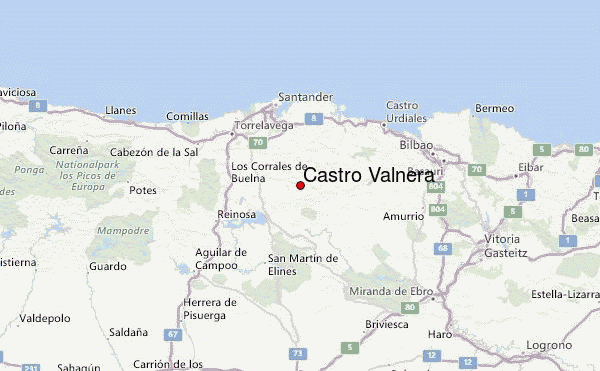
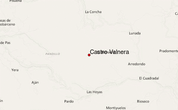
Use this relief map to navigate to mountain peaks in the area of Castro Valnera.
10 other mountain peaks closest to Castro Valnera:
| 1. | Refugio pescadores number 6 (60 m) | 24.4 km |
| 2. | Refugio MONTE BRAZO (393 m) | 30.8 km |
| 3. | Refugio MAZORRA (610 m) | 33.7 km |
| 4. | Refugio Garita (800 m) | 36.2 km |
| 5. | Refugio Los Alces (500 m) | 38.3 km |
| 6. | Refugio Las Maestras (550 m) | 38.4 km |
| 7. | Refugio El Moral (1219 m) | 39.1 km |
| 8. | Refugio El Tornillo (879 m) | 39.3 km |
| 9. | Refugio PORTILLO TORAL (835 m) | 40.7 km |
| 10. | Refugio Silla de Oso (620 m) | 41.9 km |