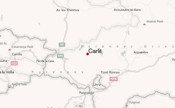
– Lat/Long: 42.57° N 1.93° E
 Carlit – Climbing, Hiking & Mountaineering information

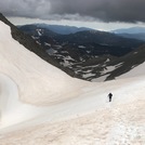
Carlit Guide
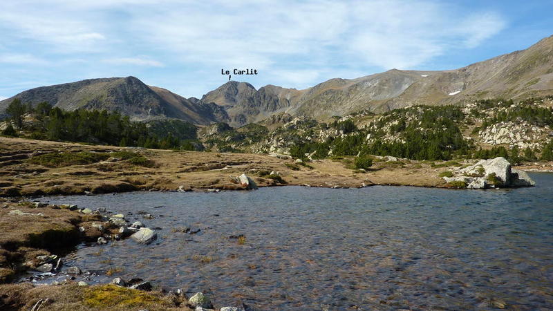
- Elevation: 2921
- Difficulty: Walk up
- Best months to climb: June, July, August, September, October
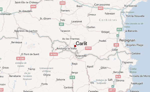
- Convenient center: Font Romeu
Carlit climbers NotesBe the first to submit your climbers note! Please submit any useful information about climbing Carlit that may be useful to other climbers. Consider things such as access and accommodation at the base of Carlit, as well as the logistics of climbing to the summit. |
| Select a
mountain summit from the menu |
||
|
Select a Mountain Summit
|
||
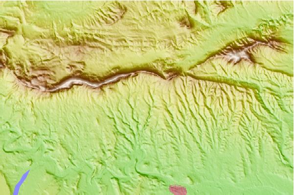
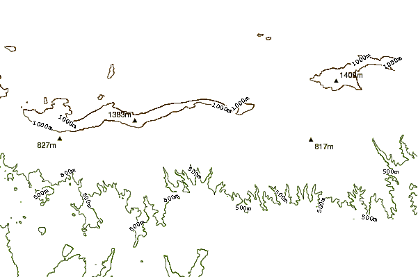
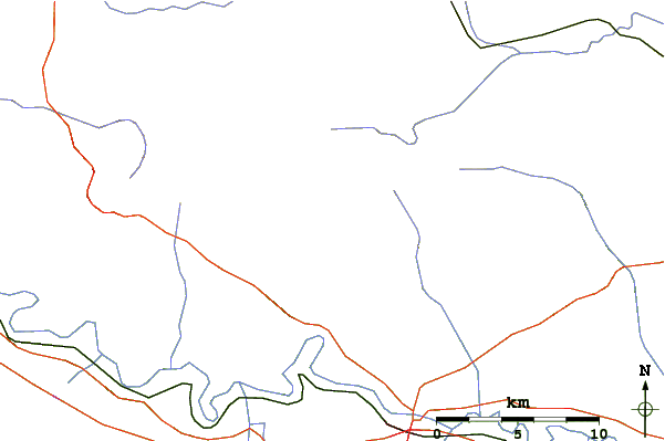
Use this relief map to navigate to mountain peaks in the area of Carlit.
10 other mountain peaks closest to Carlit:
| 1. | Peric (2810 m) | 6.8 km |
| 2. | Les Angles Bike Park (2116 m) | 9.9 km |
| 3. | Refugio Forestal de les Cases (1883 m) | 13.2 km |
| 4. | Refugio de la Feixa (2170 m) | 15.1 km |
| 5. | Refugio de la Cabanella (1810 m) | 15.6 km |
| 6. | Refugio MALNIU Libre (2123 m) | 16.7 km |
| 7. | Refugio MALNIU (2123 m) | 16.7 km |
| 8. | Ax-les-Thermes (2005 m) | 17.0 km |
| 9. | Refugi Engorgs “Joaquim Folch i Girona” (2380 m) | 18.2 km |
| 10. | Refugio CAL PERE SIDRO (1585 m) | 22.9 km |