Bunderspitz Guide
- Elevation: 2546
- Difficulty: -
- Best months to climb: -
- Convenient center: -
Bunderspitz climbers Notes
katie from UNITED STATES writes:
Okay, so I climbed Bunderspitz in June of 2010 with a few friends of mine - girl scouts. It was the hardest thing I have ever done and most likely will ever do! By the time we reached the top we were all literally crawling up to see the sun-rise in time. But it is definitely worth it once you get up there. I would definitely recommend you doing this if you ever get the chance.
2010-07-02 |
Click here to submit your own climbing note for Bunderspitz
|
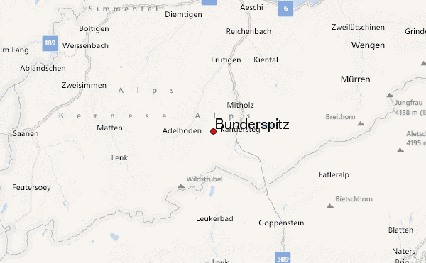
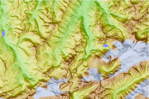
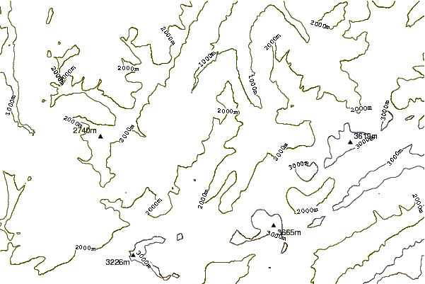
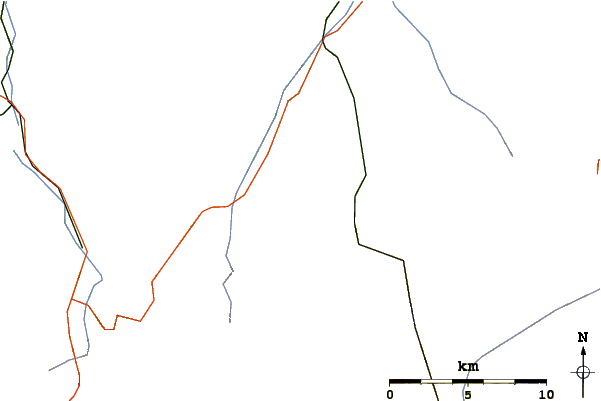
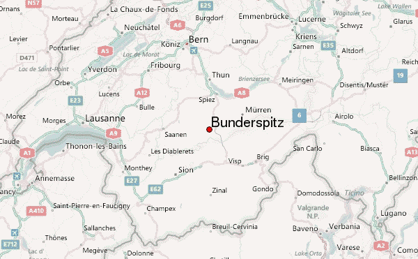
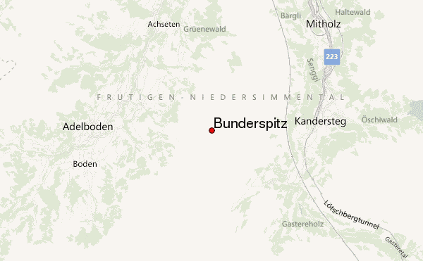
Select Bunderspitz Location Map Detail:
Use this relief map to navigate to mountain peaks in the area of Bunderspitz.
10 other mountain peaks closest to Bunderspitz:
 Bunderspitz – Climbing, Hiking & Mountaineering information