– Lat/Long: 35.48° N 118.42° W
 Brown Peak (Kern County, California) – Climbing, Hiking & Mountaineering information

Brown Peak (Kern County, California) Guide
- Elevation: 2467
- Difficulty: -
- Best months to climb: -
- Convenient center: -
Brown Peak (Kern County, California) climbers NotesBe the first to submit your climbers note! Please submit any useful information about climbing Brown Peak (Kern County, California) that may be useful to other climbers. Consider things such as access and accommodation at the base of Brown Peak (Kern County, California), as well as the logistics of climbing to the summit. |
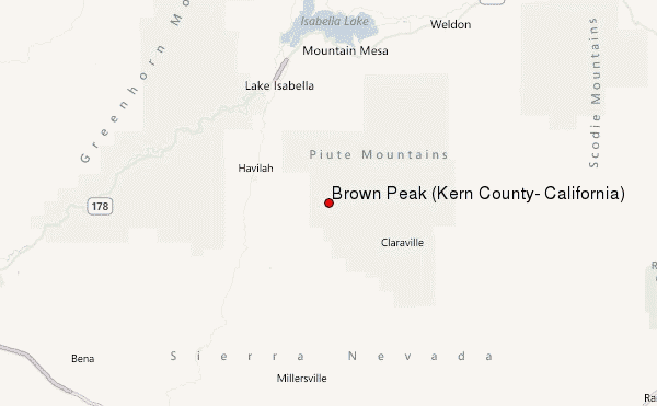
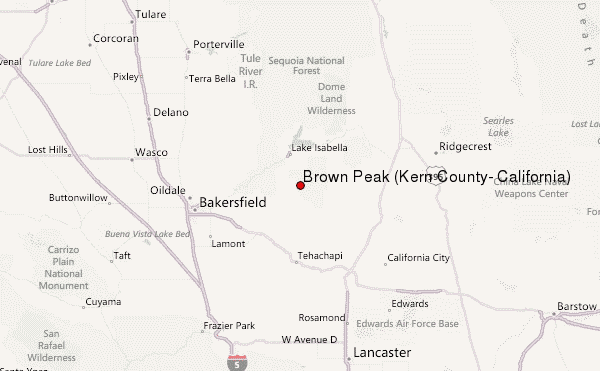
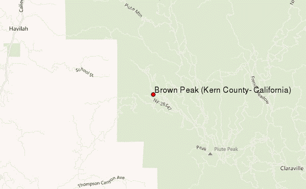
Select Brown Peak (Kern County, California) Location Map Detail:
| Select a
mountain summit from the menu |
||
|
Select a Mountain Summit
|
||
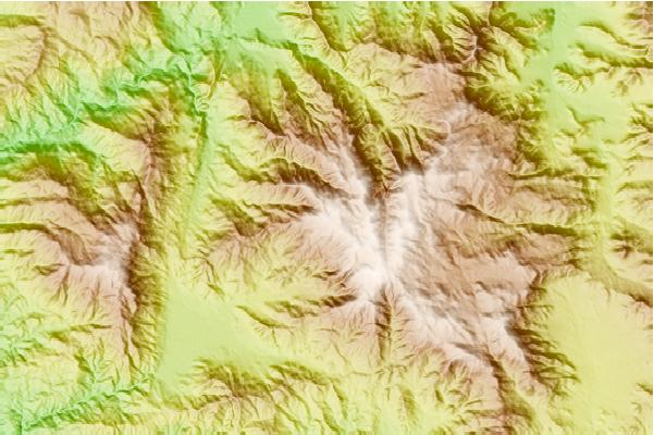
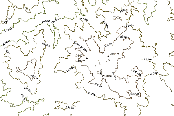
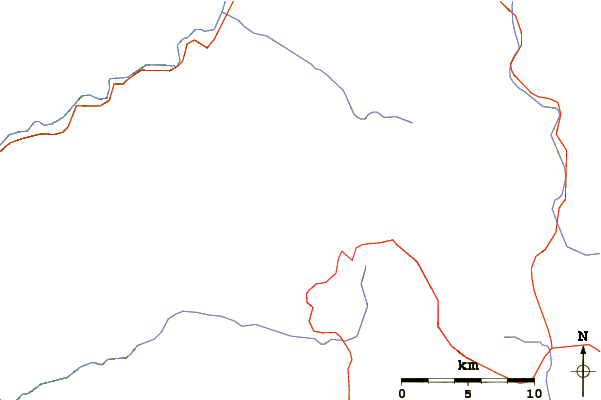
Use this relief map to navigate to mountain peaks in the area of Brown Peak (Kern County, California).
10 other mountain peaks closest to Brown Peak (Kern County, California):
| 1. | Breckenridge Mountain (2301 m) | 14.9 km |
| 2. | Bear Mountain (California) (2108 m) | 36.6 km |
| 3. | Owens Peak (2576 m) | 47.9 km |
| 4. | Sirretta Peak (3041 m) | 49.7 km |
| 5. | Double Mountain (California) (2436 m) | 50.5 km |
| 6. | Cummings Mountain (California) (2365 m) | 51.0 km |
| 7. | Coso Volcanic Field (2400 m) | 82.1 km |
| 8. | Tecuya Mountain (2182 m) | 87.6 km |
| 9. | Burnt Peak (California) (1764 m) | 90.3 km |
| 10. | Eagle Rest Peak (1830 m) | 91.1 km |