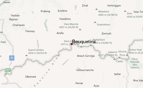
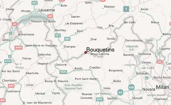
– Lat/Long: 45.98° N 7.55° E
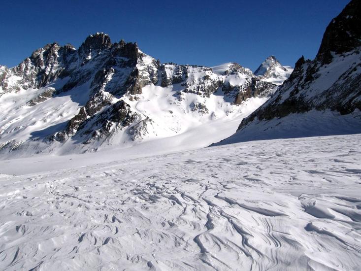
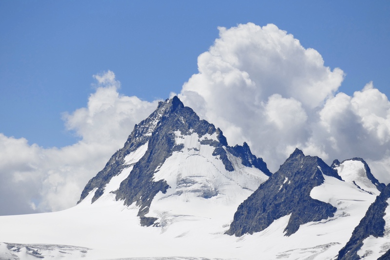
 Bouquetins – Climbing, Hiking & Mountaineering information

Bouquetins Guide
- Elevation: 3838
- Difficulty: -
- Best months to climb: -
- Convenient center: -
Bouquetins climbers NotesBe the first to submit your climbers note! Please submit any useful information about climbing Bouquetins that may be useful to other climbers. Consider things such as access and accommodation at the base of Bouquetins, as well as the logistics of climbing to the summit. |
| Select a
mountain summit from the menu |
||
|
Select a Mountain Summit
|
||
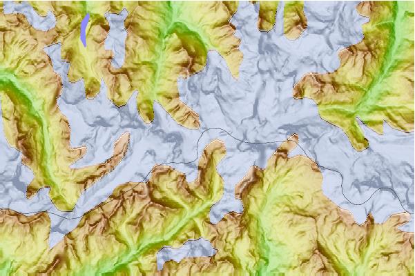
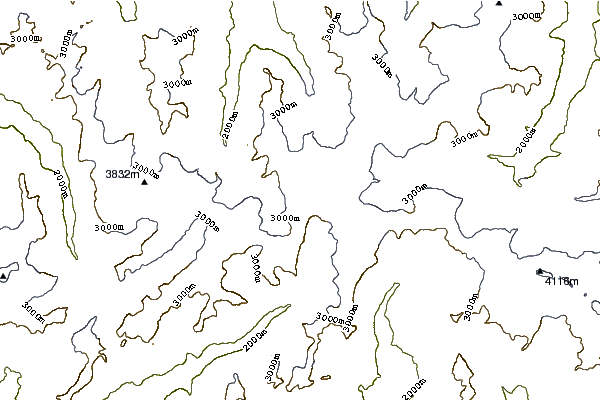
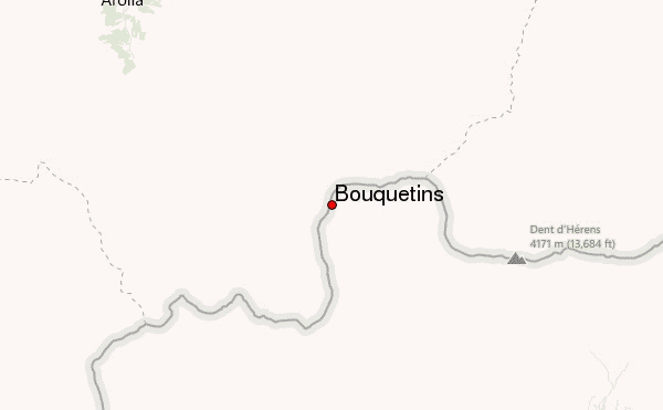
Use this relief map to navigate to mountain peaks in the area of Bouquetins.
10 other mountain peaks closest to Bouquetins:
| 1. | Le Refuge des Bouquetins (2980 m) | 1.7 km |
| 2. | Dents de Bertol (3547 m) | 1.8 km |
| 3. | Refuge Aoste (2788 m) | 1.8 km |
| 4. | Rifugio Aosta CAI (2785 m) | 1.8 km |
| 5. | Tete Blanche (3429 m) | 2.3 km |
| 6. | Tête de Valpelline (3798 m) | 2.8 km |
| 7. | Cabane de Bertol CAS (3311 m) | 3.0 km |
| 8. | Bertol Hut (3311 m) | 3.0 km |
| 9. | Mont Brûlé (3585 m) | 3.1 km |
| 10. | Mont Collon (3637 m) | 3.2 km |