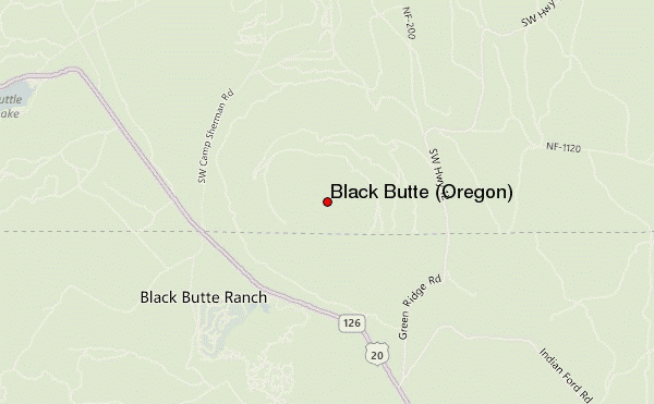
– Lat/Long: 44.40° N 121.64° W
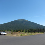
 Black Butte (Oregon) – Climbing, Hiking & Mountaineering information

Black Butte (Oregon) Guide
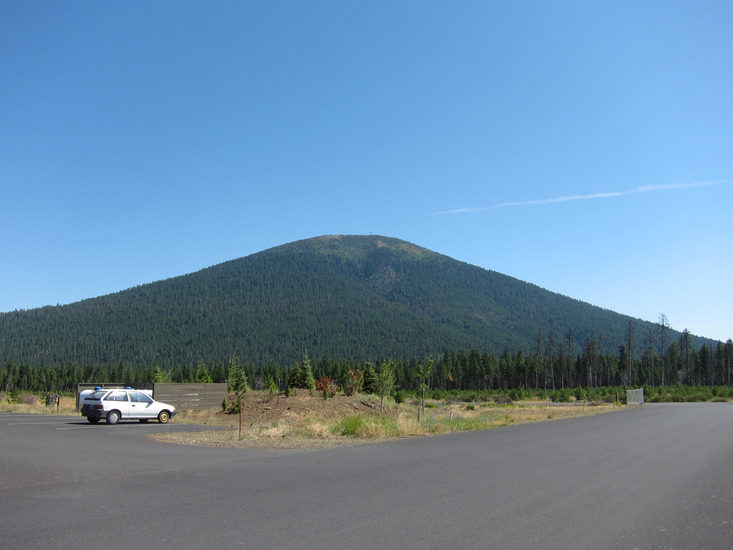
- Elevation: 1962
- Difficulty: -
- Best months to climb: -
- Convenient center: -
Black Butte (Oregon) climbers NotesBe the first to submit your climbers note! Please submit any useful information about climbing Black Butte (Oregon) that may be useful to other climbers. Consider things such as access and accommodation at the base of Black Butte (Oregon), as well as the logistics of climbing to the summit. |
| Select a
mountain summit from the menu |
||
|
Select a Mountain Summit
|
||
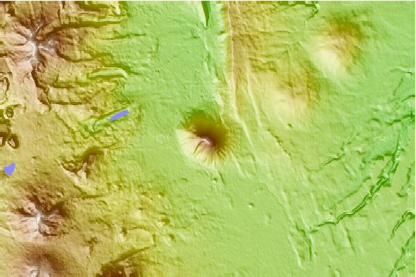
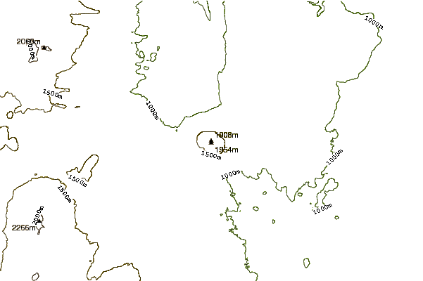
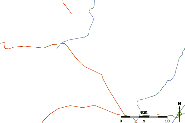
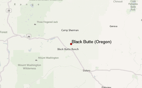
Use this relief map to navigate to mountain peaks in the area of Black Butte (Oregon).
10 other mountain peaks closest to Black Butte (Oregon):
| 1. | Blue Lake Crater (1230 m) | 11.0 km |
| 2. | Black Crater (2212 m) | 17.5 km |
| 3. | Mount Washington (Oregon) (2376 m) | 17.8 km |
| 4. | Three Fingered Jack (2390 m) | 18.8 km |
| 5. | Hayrick Butte (1683 m) | 18.8 km |
| 6. | Hogg Rock (1551 m) | 19.4 km |
| 7. | Hoodoo Butte (1738 m) | 19.8 km |
| 8. | Belknap Crater (2095 m) | 20.8 km |
| 9. | Sand Mountain (1664 m) | 23.4 km |
| 10. | Three Sisters (3157 m) | 31.4 km |