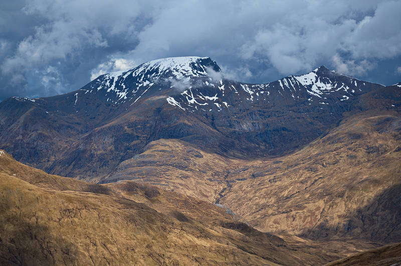
– Lat/Long: 56.80° N 5.00° W

UkBen Nevis – Climbing, Hiking & Mountaineering information

Placeholder

Ben Nevis mountain guide

The refuge shelter, Ben Nevis photo

Ben Nevis

Photo credit: keith brading

The Refuge Shelter in calmer times, Ben Nevis photo

Ben Nevis

Photo credit: keith brading

Ben Nevis  photo

Ben Nevis

Photo credit: Piotr Slusarczyk

Ben Nevis photo

Ben Nevis

Photo credit: Piotr Slusarczyk

3 Peaks Challenge, Ben Nevis photo

Ben Nevis

Photo credit: Paulo Goulart

  • Elevation: 1344 m
  • Difficulty: Walk up
  • Best months to climb: June, July, August
  • Convenient center: Fort William
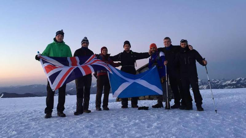
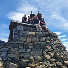
Ben Nevis Climbing Notes

Be the first to submit your climbing note!

Please submit any useful information about climbing Ben Nevis that may be useful to other climbers. Consider things such as access and accommodation at the base of Ben Nevis, as well as the logistics of climbing to the summit.

Ben Nevis Location Map

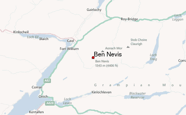
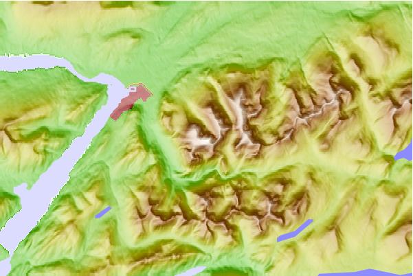
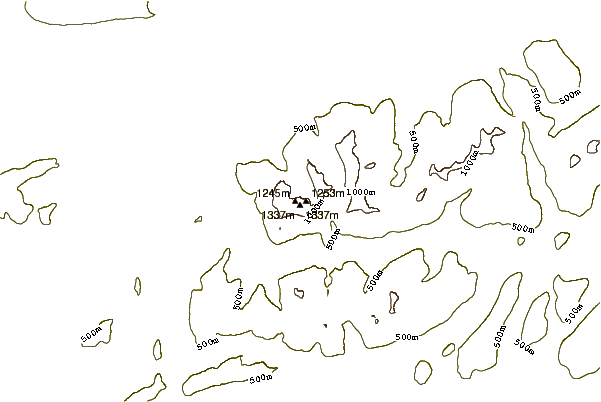
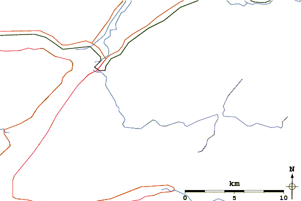
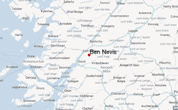
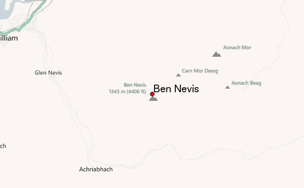
Select Ben Nevis Location Map Detail:


Latest Gallery Images for Ben Nevis

visit the
gallery
or click to view
Orographic Lift on Ben NevisMisty View Ben NevisTop of The Ben

Upload your photo of Ben Nevis

Select a mountain summit from the menu
Select a Mountain Summit
Surf breaks located close to Ben Nevis Mountain peaks around Ben Nevis Roads and rivers around Ben Nevis

Use this relief map to navigate to mountain peaks in the area of Ben Nevis.

10 other mountain peaks closest to Ben Nevis:

1. Càrn Mòr Dearg (1223 m) 1.3 km
2. Aonach Mòr (1221 m) 3.0 km
3. Aonach Beag (1234 m) 3.1 km
4. Sgurr a' Mhaim (1099 m) 4.6 km
5. An Gearanach (982 m) 5.0 km
6. Stob Coire a' Chàirn (981 m) 5.7 km
7. Stob Bàn (Mamores) (999 m) 6.3 km
8. Am Bodach (1032 m) 6.5 km
9. Binnein Beag (943 m) 6.7 km
10. Mullach nan Coirean (939 m) 6.7 km