Beinn Ime Guide
- Elevation: 1011
- Difficulty: Walk up
- Best months to climb: May, June, July, August
- Convenient center: Arrochar / Helensburgh / Dumbarton
Beinn Ime climbers Notes
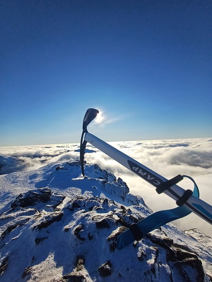
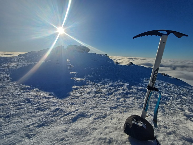
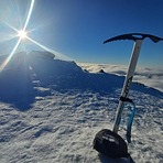
Jojo from UNITED KINGDOM writes:
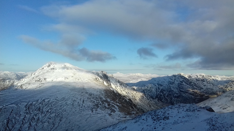
Can be climbed via Butterbridge (west face) route, makes for a more challenging ascent. We went into the wee cave bit nearing the bealach before heading south to the summit. 17/2/26, 10/10 bluebird day, snow from about 400m up.
2026-04-08 |
Click here to submit your own climbing note for Beinn Ime
|
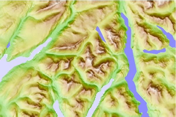
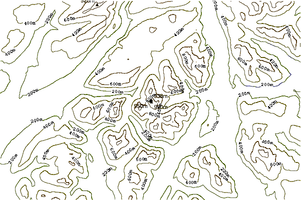
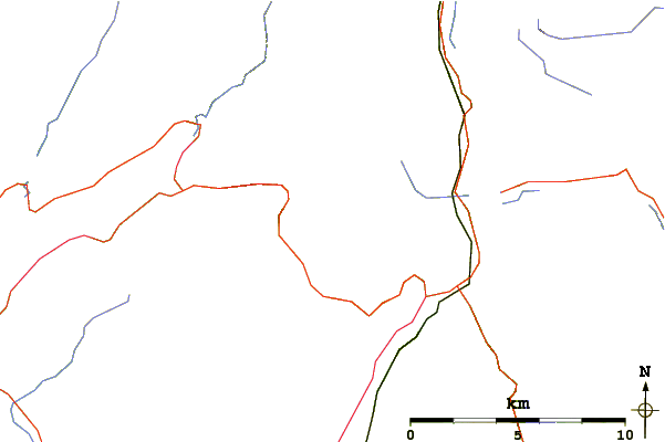
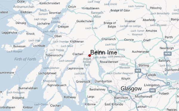
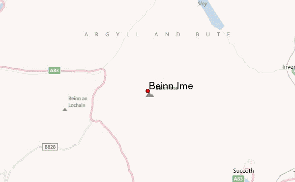
Select Beinn Ime Location Map Detail:
Use this relief map to navigate to mountain peaks in the area of Beinn Ime.
10 other mountain peaks closest to Beinn Ime:
 Beinn Ime – Climbing, Hiking & Mountaineering information