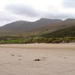
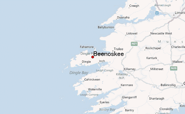
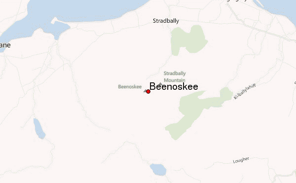
Beenoskee Guide
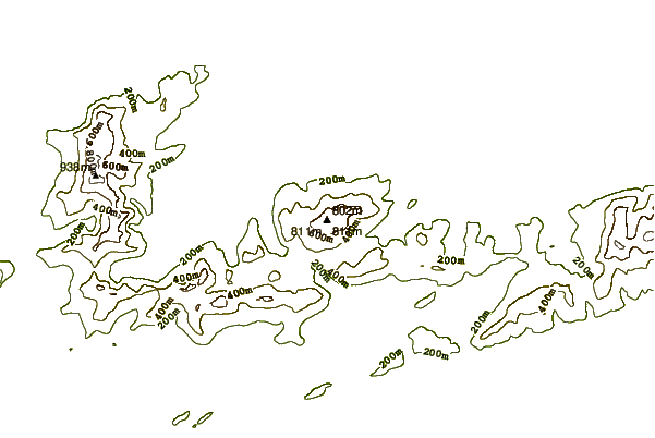
- Elevation: 826
- Difficulty: -
- Best months to climb: -
- Convenient center: -
Beenoskee climbers Notes
gerard o'regan from IRELAND writes:
Historical notes
~~~~~~~~~~~~~~~~
Dec 20th 1943 where a RAF Wellington with a Polish crew (all killed ) crashed on nearby Mt Brandon not to be confused with another accident exactly one year later of a RAF PB4Y-2 Catalina of 202 Squadron out of N.IRELAND that hit Benoskee in dense fog killing all 9 crew.
085-1182805
2013-02-09 |
Click here to submit your own climbing note for Beenoskee
|
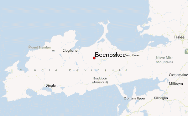
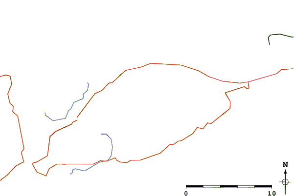
Select Beenoskee Location Map Detail:
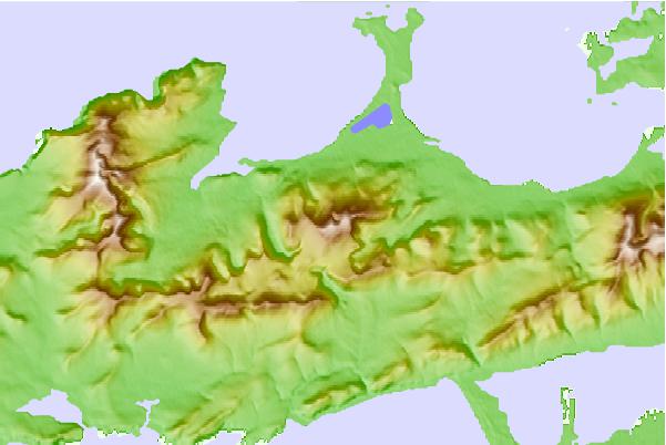
Use this relief map to navigate to mountain peaks in the area of Beenoskee.
10 other mountain peaks closest to Beenoskee:
 Beenoskee – Climbing, Hiking & Mountaineering information