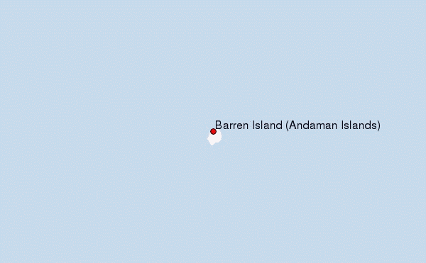
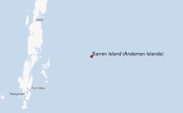
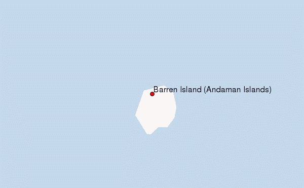
– Lat/Long: 12.28° N 93.86° E
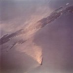
 Barren Island (Andaman Islands) – Climbing, Hiking & Mountaineering information

Barren Island (Andaman Islands) Guide
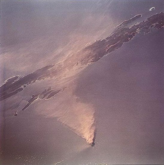
- Elevation: 354
- Difficulty: -
- Best months to climb: -
- Convenient center: -
Barren Island (Andaman Islands) climbers NotesBe the first to submit your climbers note! Please submit any useful information about climbing Barren Island (Andaman Islands) that may be useful to other climbers. Consider things such as access and accommodation at the base of Barren Island (Andaman Islands), as well as the logistics of climbing to the summit. |
| Select a
mountain summit from the menu |
||
|
Select a Mountain Summit
|
||

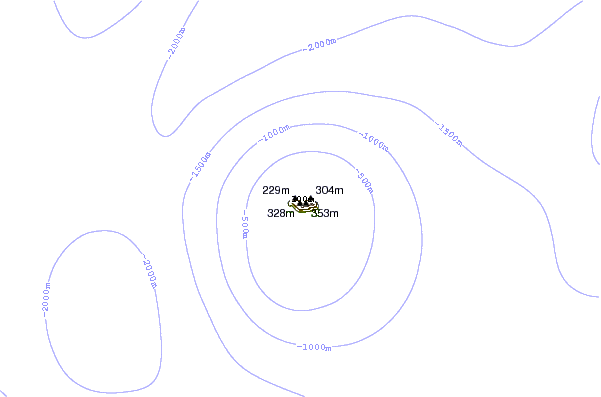
Use this relief map to navigate to mountain peaks in the area of Barren Island (Andaman Islands).
10 other mountain peaks closest to Barren Island (Andaman Islands):
| 1. | Narcondam Island (710 m) | 136.1 km |
| 2. | Myinmoletkat Taung (2072 m) | 552.3 km |
| 3. | Khao Nom Sao (1089 m) | 591.8 km |
| 4. | Mulayit Taung (2005 m) | 664.4 km |
| 5. | Mela Taung (2080 m) | 711.8 km |
| 6. | Weh Island (617 m) | 735.5 km |
| 7. | Khao Luang (1835 m) | 765.8 km |
| 8. | Seulawah Agam (1726 m) | 786.4 km |
| 9. | Nattaung (2623 m) | 803.4 km |
| 10. | Doi Inthanon (2565 m) | 860.3 km |